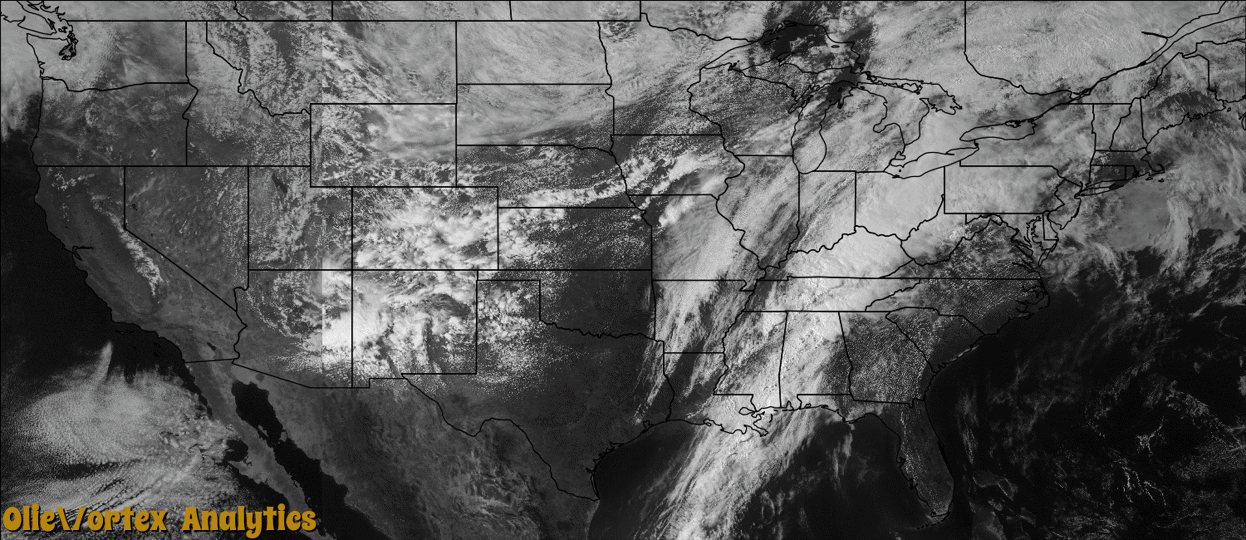
Tornado Reports
Sort by Time Sort by Rating Sort by State Sort by County| Time | Rating | Radar | State | County | Location | Narrative |
|---|---|---|---|---|---|---|
| 13:35Z | EF0 | KOHX | KY | Monroe | Tompkinsville | A NWS storm survey confirmed that a tornado touched down around 835 am CDT 4.3 miles west of Tompkinsville. A tobacco barn and several trees were damaged. The tornado then traveled east around 5.7 miles and lifted 1.4 miles east of Tompkinsville after damaging several trees. The tornado was rated EF-0 with estimated winds of 80 to 85 mph. |
| 20:25Z | EF2 | KMRX | KY | Wayne | Betsey | An EF2 tornado touched down 1 mile south of Betsey in the Meadow Creek area. The tornado had a path length of 1/4 of a mile and a path width of 100 yards. The estimated wind speeds associated with the tornado were 110 to 120 mph. The tornado downed numerous trees. The twister also blew part of the roof off of a brick home, causing the corner of an outside wall to collapse. |
Storm reports are derived from "The Storm Events Database" (National Centers for Environmental Information) and/or "Past Storm Reports" (Storm Prediction Center).