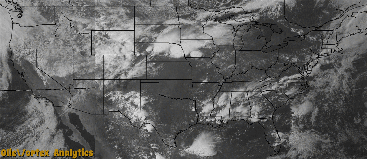
Tornado Reports
Sort by Time Sort by Rating Sort by State Sort by County| Time | Rating | Radar | State | County | Location | Narrative |
|---|---|---|---|---|---|---|
| 18:22Z | EF0 | KFSD | IA | O'brien | Sanborn | A brief tornado caused no reported damage. |
| 19:58Z | EF0 | KOAX | NE | Wayne | Altona | A tornado briefly touched down about 9 miles north of Wisner and was on the ground for around a mile and a quarter. Soybean crops were damaged by the tornado with little other damage noted. There were some local reports that the tornado moved south and then southwest while the parent thunderstorm was moving northeast. |
| 22:08Z | EF2 | KDMX | IA | Ringgold | Tingley | A cone shape tornado was reported. Path was intermittent and the NWS survey suggests that the tornado hit a farmstead then lifted briefly skipping over some farms before setting back down and damaging another farmstead. Eyewittnesses also recount the tornado briefly lifting. |
| 23:05Z | EF1 | KOAX | NE | Cass | Cedar Creek | A brief tornado touchdown caused damage to a pole barn before lifting near Highway 66. |
| 23:54Z | EF0 | KRIW | WY | Johnson | Buffalo | A motorist on Interstate 90 at milepost 102 in Campbell County shot video of a landspout tornado estimated to be five miles west in far eastern Johnson County. No damage or injuries were reported. The landspout did not occur in conjunction with a thunderstorm. |
Storm reports are derived from "The Storm Events Database" (National Centers for Environmental Information) and/or "Past Storm Reports" (Storm Prediction Center).