Tornado Reports
Sort by Time Sort by Rating Sort by State Sort by County| Time | Rating | Radar | State | County | Location | Narrative |
|---|---|---|---|---|---|---|
| 21:45Z | EF2 | KTFX | MT | Park | Wilsall Arpt | At approximately 345pm to about 352pm, a supercell thunderstorm produced a tornado with surrounding microburst damage occurred about 15 miles northeast of Wilsall over the foothills of the Crazy Mountains in Park County. Thousands of trees were damaged, including large trees that were uprooted or snapped off at the base. Trees as large as three to four feet in diameter were uprooted and/or snapped. EF-2 scale damage with estimated wind speeds up to 120 mph was determined with this tornado. |
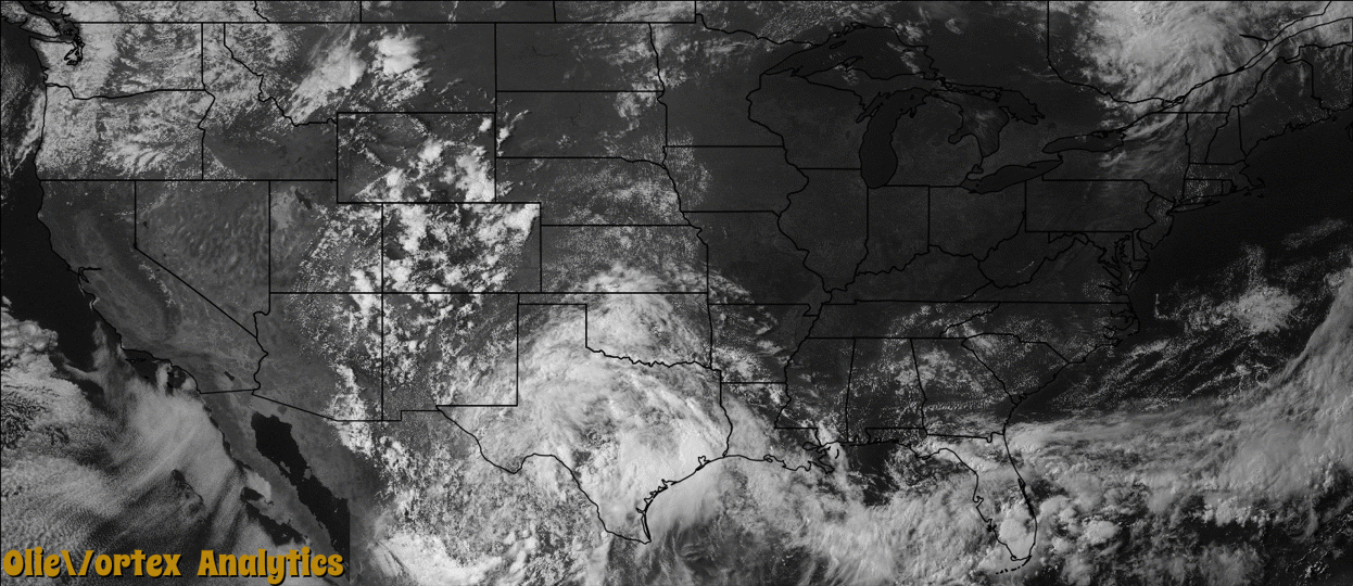
| 22:09Z | EF1 | KCRP | TX | Jim Hogg | Hebbronville | A tornado was reported in the Hebbronville area by the border patrol and public.|A tornado touched down in the Hebbronville area just after 5 pm, flipping a tractor trailer, uprooting trees, snapping large limbs, and causing a gas leak. The tornado knocked out power to at least 1762 AEP Power customers, more than half of the town. The tornado formed along a remnant shear axis left behind after Hurricane Alex dissipated in Mexico. The elevated humidity levels combined with daytime heating and low to mid level turbulence likely contributed to the development of the tornado producing thunderstorm.||A preliminary assessment of damages in Hebbronville indicated areas of EF-1 (85 to 105 mph) winds. The EF-1 damages occurred in the central and southeast areas of Hebbronville into the center of town, EF-0 damages occurred from the center of town to areas northwest of town which included areas around Hebbronville High School. ||The tornado formed to the southeast of Hebbronville between 450 and 5 pm. The tornado crossed State Highway 285 about 1/2 mile east of the intersection with State Highway 16, and entered a Texas Department of Transportation maintenance yard, tearing a section off a roof and collapsing a section of a metal parking area. It continued to the north northwest into a residential area, taking the roof off one modular home, snapping several power poles, rolling a mobile home onto its roof, and damaging numerous mesquite trees. The tornado continued moving northwest toward downtown and knocked down numerous power lines, then struck a grocery store and blew a billboard onto a few parked cars. A loaded tractor trailer was rolled onto its roof and against the grocery store. The tornado then moved north northwest, causing lesser tree damage along Maria and Frans Avenues. The weakening tornado crossed over a school, with no notable damage. It then moved by Hebbronville High School���s Gruy stadium, bending a goalpost and knocking over some fencing around tennis courts just west of the school campus. The tornado then lifted, with no damage noted beyond this location.||Considerable damage was rated EF-1 from the southeast side of Hebbronville until reaching downtown, with wind speeds of 90 to 100 mph. EF-0 damage (below 85 mph) was seen from northwest of downtown to the area around the high school. |
Storm reports are derived from "The Storm Events Database" (National Centers for Environmental Information) and/or "Past Storm Reports" (Storm Prediction Center).