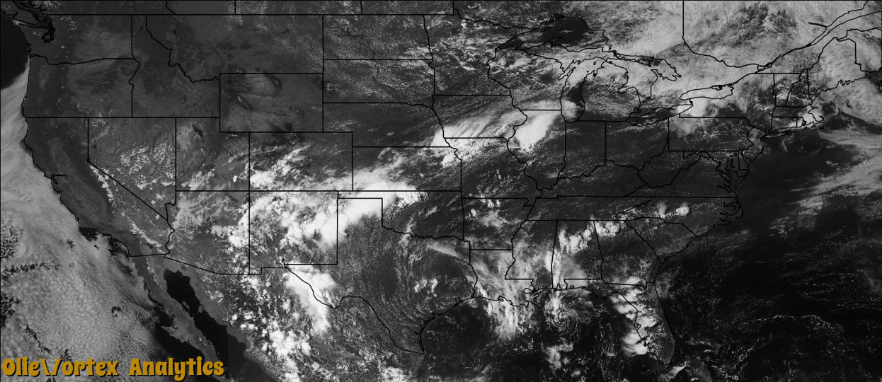
Tornado Reports
Sort by Time Sort by Rating Sort by State Sort by County| Time | Rating | Radar | State | County | Location | Narrative |
|---|---|---|---|---|---|---|
| 20:40Z | EF2 | KBUF | NY | Chautauqua | Westfield | An NWS ground and aerial survey confirmed an EF2 tornado. |
| 21:25Z | EF2 | KBUF | NY | Cattaraugus | Randolph Arpt | A NWS survey confirmed an EF2 tornado touched down. |
| 21:25Z | EF1 | KBUF | NY | Cattaraugus | Great Vly | Photos taken by a New York State Police aerial survey confirmed an EF1 tornado. |
| 21:49Z | EF1 | KBUF | NY | Cattaraugus | Carrollton | A NWS survey confirmed an EF1 tornado. |
| 23:05Z | EF1 | KCCX | PA | Potter | Galeton | NWS meteorologists confirmed an EF1 tornado approximately 2 miles west-southwest of Galeton, PA in Potter County. The tornado was on the ground for about 2 minutes and had a path length of just over 1 mile. The estimated maximum wind speed was 90 mph based on tree and utility pole damage indicators. The damage occurred in a very rural area with only minor structural damage to a few cabins. The tornado path was slightly curved and extended from a small tributary on the West Branch of Pine Creek across SR 2002. The EF1 tornado destroyed over 1000 trees and up to 10 utility poles along SR 2002. A pump-house that supplies the town of Galeton with water was impacted by power outages resulting from the downed utility poles. |
Storm reports are derived from "The Storm Events Database" (National Centers for Environmental Information) and/or "Past Storm Reports" (Storm Prediction Center).