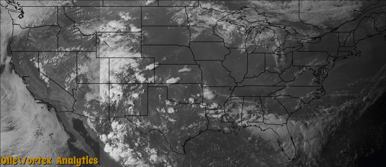
Tornado Reports
Sort by Time Sort by Rating Sort by State Sort by County| Time | Rating | Radar | State | County | Location | Narrative |
|---|---|---|---|---|---|---|
| 17:10Z | EF0 | KMLB | FL | Volusia | Edgewater | As a line of thunderstorms moved from the mainland to the Volusia County coast, a|waterspout formed over Browns Bay, a marshy area east of the intracoastal river. The waterspout moved onshore the adjacent barrier island in New Smyrna Beach and produced minor damage as it crossed to the Atlantic coast. Six homes received minor damage, and one home experienced more extensive damage as a small part of roofing plywood and shingles was removed. Insulation was blown to the ocean about a half mile away. See separate waterspout entry. |
| 22:02Z | EF0 | KAMX | FL | Palm Beach | Boca Raton | A small and short-lived tornado moved through the West Boca area, with numerous reports received of trees down, overturned patio furniture, street lights knocked down, some roofing shingles blown off houses, and downed power lines from around the intersection of Powerline Road and SW 18th Street to the Boca Point Golf Course. No major structural damage was reported.||No damage assessment was performed by county officials due to the minor nature of the damage. |
| 23:25Z | EF4 | KMVX | ND | Richland | Tyler | This tornado touched down south of Tyler and tracked to the east for roughly 2.5 miles before crossing the Bois de Sioux River into Wilkin County, Minnesota. In Wilkin County, the tornado continued for another 2.5 miles and lifted about 650 pm CDT. The total track length was about 5 miles and peak winds were estimated at 175 mph. |
| 23:25Z | EF0 | KMVX | MN | Wilkin | Tenney | This tornado touched down briefly in an open field, roughly seven miles east of a larger and much longer lasting tornado. |
| 23:37Z | EF4 | KMVX | MN | Wilkin | Doran | This tornado began in Richland County, North Dakota, at 625 pm CDT, where it had a path length of 2.5 miles. It continued in Wilkin County, Minnesota, where it finally lifted about 2.5 miles southwest of Doran. The total path length was roughly five miles and peak winds were estimated at 175 mph. |
| 23:46Z | EF0 | KMVX | MN | Wilkin | Nashua | This tornado tracked for about a mile through mainly open fields. This was the latter of three distinct tornadoes which occurred from at least four distinct funnel clouds in Wilkin County during a roughly 15 to 20 minute period. Peak winds were estimated at 75 mph. |
| 23:58Z | EF1 | KMVX | MN | Otter Tail | Western | This tornado tracked intermittently for about 4 miles, mainly over open fields. However, the tornado did knock down some trees in shelterbelts and left swirls in crops. The tornado and debris cloud was viewed from near Elbow Lake. Peak winds were estimated at 90 mph. |
| 00:33Z | EF0 | KMVX | MN | Otter Tail | Rothsay | A brief tornado touchdown occurred in an open field. No significant damage was observed. |
| 00:35Z | EF1 | KMVX | MN | Grant | Wendell | This tornado tracked intermittently for nearly 16 miles, to about 3 miles east of Erdahl. At this point, it continued into Douglas County. The tornado broke down numerous trees and large tree limbs along its path. At times, the tornado was wrapped in very heavy rains. Peak winds were estimated at 100 mph. |
| 00:59Z | EF1 | KMPX | MN | Otter Tail | Wrightstown | Several large tree limbs were twisted or broken down in tree stands and shelterbelts. Peak winds were estimated at 90 mph. |
| 01:05Z | EF1 | KMVX | MN | Douglas | Evansville | A National Weather Service Storm Damage Survey from the Grand Forks, North Dakota Office determined that an EF-1 tornado touched down about one mile north of Wendell in Grant County, and had an intermittent track east-southeast through Grant County. It then moved east across northwestern Douglas County to the south side of Evansville, before lifting. Total path length from Grant County into Douglas County was about 21 miles. Damage was confined to large trees, but several power poles were blown down in Evansville, causing a city wide power outage. |
| 04:37Z | EF0 | KDLH | WI | Polk | Luck | A National Weather Service Storm Damage Survey determined that an EF-0 touched down two miles west of Bone Lake, to about one mile south of Bone Lake, Wisconsin. Damage was extensive to hundreds of large trees that included several two foot diameter Pine Trees. Structural damage included shingles blown off a home, car and home windows blown out, and a wooden trailer tossed into a tree. |
| 04:57Z | EF1 | KDLH | WI | Barron | Barronett | A National Weather Service Storm Damage Survey determined that an EF-1 tornado touched down approximately 4.5 miles north-northeast of Cumberland, and tracked east-southeast to approximately six miles northeast of Cumberland, Wisconsin. Structural damage was confined to a barn and garage destroyed. Hundreds of trees were either uprooted and blown down, and several of the large trees were in excess of four feet in diameter. |
Storm reports are derived from "The Storm Events Database" (National Centers for Environmental Information) and/or "Past Storm Reports" (Storm Prediction Center).