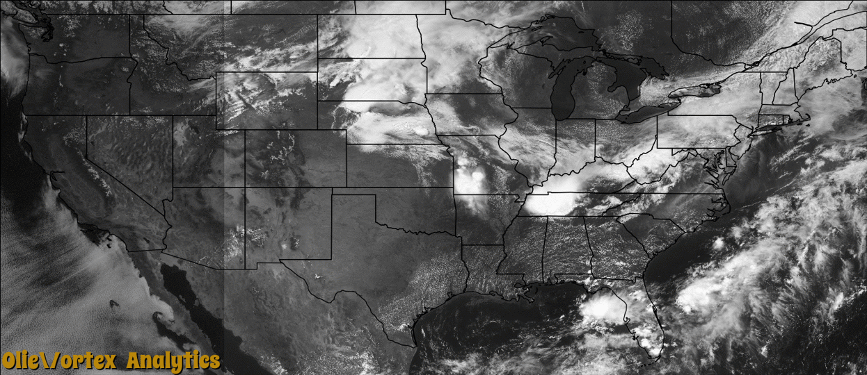
Tornado Reports
Sort by Time Sort by Rating Sort by State Sort by County| Time | Rating | Radar | State | County | Location | Narrative |
|---|---|---|---|---|---|---|
| 00:50Z | EF0 | KEAX | MO | Nodaway | Maryville Mem Arpt | At 1850CST the media reported a brief EF0 tornado touchdown, 5 miles west of Maryville. The tornado moved just a little to the east over open fields, and then lifted at 1851CST, nearly 5 miles east of Maryville. |
| 00:55Z | EF0 | KOAX | IA | Harrison | Pisgah | A brief EF0 tornado spun up on the leading edge of a squall line about 1.2 miles southeast of Pisgah. Trees were snapped or uprooted from the tornado. The tornado ended about 1/2 mile east of Highway F20L and 135th St. |
| 01:40Z | EF1 | KDMX | IA | Carroll | Halbur | An EF1 tornado was on the ground for a brief time with a path length of 2.5 miles due east. Width was up to 100 yards with peak wind estimated at around 95 mph. A roof was blown off a hog confinement building and Morton building with other damage in between. |
| 05:45Z | EF1 | KLSX | MO | Shelby | Shelbina | The first tornado formed near Elm Street and Douglas Avenue, north of U.S. Highway 36 at approximately 1245 a.m. CDT. The roof and walls of a corrugated steel building buckled on the west and south sides, along with a portion of the roof. The tornado moved across U.S. Highway 36 and destroyed three unoccupied house trailers. Debris was tossed about 100 yards from the trailers. The tornado continued to move east-southeast and caused roof damage to the town power and water plants on Chestnut Street west of Shelby Street. A portion of the gables holding the roof of the power plant was uplifted and tossed approximately 50 yards to the east. Much of the water plant's roof was removed and tossed 40 to 50 yard to the east. The tornado then caused minor roof damage on homes and snapped numerous large trees about 10 to 20 feet from the base. Some of the large branches fell on top of vehicles. The tornado then caused extensive damage to the roof of the two story town museum on Center Street (Highway 15). Several bricks fell to the ground from the top of the museum roof. Additional tree damage was found east and southeast of the town museum building. The path length was 1.15 miles with width varying between 50 and 70 yards. The tornado was rated an EF1. |
| 05:47Z | EF1 | KLSX | MO | Shelby | Shelbina | The second tornadic damage track was just to the south of the first tornado. It began west of South Center Street, where significant tree damage occurred. Some of the trees fell on top of homes. The tornado traveled east-southeast and hit an assisted living home on Shelbina Avenue. Roof damage was found at this location. Other large trees were damaged in the vicinity of the assisted living home. The tornado continued to the east-southeast and destroyed a large machine shed built in 2008. The east, south and west sides and the roof of the machine shed were tossed into several corn fields. The tornado then crossed County Road 441, where it hit a tree line with several trees snapped 15 to 20 feet from the base and tree trunk diameters ranging from 1 to 2.5 feet. The width of the damage in this area was 50 yards. The path length was 1.22 miles with a max width of 70 yards. The tornado was rated an EF1. |
| 06:05Z | EF1 | KLSX | MO | Monroe | Monroe City Regnl Ar | A tornado touched down about 3.5 miles south of Monroe City on the west side of U.S. Highway 24 and travelled to the southeast, crossing the highway before lifting and dissipating along County Road 591. There was significant tree damage along the path. Trees were 60 to 80 feet tall with trunk diameters of 3 to 4 feet. Some of the trees were snapped a third to half way up. Other large trees were uprooted. Some of the large tree limbs were tossed 50 to 70 yards to the east southeast. The total path length was four tenths of a mile and the max width was 40 yards. The tornado was rated an EF1. |
| 06:09Z | EF0 | KLSX | MO | Ralls | Hassard | A tornado touched down on Hereford Lane, about 3 miles southeast of Monroe City in northwestern Ralls County. It travelled to the southeast blowing down numerous trees. Several large trees were snapped half way up the trunk or uprooted within a defined relatively narrow path. Most of the trees were between 50 and 60 feet tall with trunk diameters varying between 2 and 3 feet wide. Also, a barn sustained moderate damage with part of its roof blown off. The tornado lifted and dissipated on Demoss Road. The total path length was six tenths of a mile with a max width of 70 yards. The tornado was rated an EF0. |
Storm reports are derived from "The Storm Events Database" (National Centers for Environmental Information) and/or "Past Storm Reports" (Storm Prediction Center).