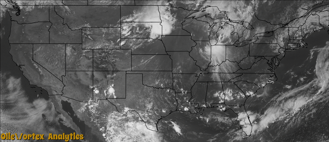
Tornado Reports
Sort by Time Sort by Rating Sort by State Sort by County| Time | Rating | Radar | State | County | Location | Narrative |
|---|---|---|---|---|---|---|
| 18:55Z | EF0 | KUDX | SD | Butte | Nisland | The tornado did not cause any damage. Size and location were based on pictures and reports. |
| 20:50Z | EF1 | KFSD | MN | Pipestone | Ruthton | A tornado destroyed a shelter belt, damaged a Morton building, and damaged several garages, one of which was moved off its foundation. The tornado also caused widespread tree damage, including several trees snapped off at the base. |
| 20:57Z | EF2 | KFSD | MN | Lincoln | Tyler | A tornado destroyed several outbuildings and storage buildings, took the roofs off several other structures, and otherwise damaged the siding and roofs of several structures including some homes. Widespread tree damage included several trees blown down and debarking at tree tops. |
| 21:31Z | EF1 | KFSD | MN | Redwood | Vesta | An EF-1 tornado touched down in Redwood County, approximately 6 miles west of Vesta, and moved into the far southeast corner of Yellow Medicine County, near 100th Avenue and 600th Street. Numerous trees were uprooted along with a few homes damaged along the path across northwestern Redwood County. |
| 21:31Z | EF1 | KFSD | MN | Redwood | Vesta | An EF-1 tornado touched down just east of the Lyon, Redwood County border, and moved northeast to approximately 8 miles north of Milroy. Path length was approximately 2.6 miles, with a maximum width of 300 yards. Numerous trees were uprooted with a grain bin heavily damaged. |
| 21:36Z | EF1 | KFSD | MN | Yellow Medicine | Echo | An EF-1 tornado continued along a path across Yellow Medicine County near 100th Avenue and 600th Street, northeast to near 130th Avenue, and 370th Street where it crossed back into northwest Redwood County. Several trees were uprooted along the path along with a few homes damaged. |
| 21:41Z | EF1 | KFSD | MN | Redwood | Belview | An EF-1 tornado continued along a path across northwest Redwood County, northeast to the Minnesota River, or approximately 3.5 miles north of Delhi where it crossed the Minnesota River into Renville County. The most concentrated area of tornadic damage with hundreds of trees uprooted or blown down was in the town of Belview. In addition, a few homes were damaged along the tornado path. |
| 21:46Z | EF1 | KMPX | MN | Renville | Bechyn | An EF-1 tornado continued along a path across western Renville County, and moved approximately 1.5 miles before dissipating near the intersection of 740th Avenue and 240th Street. Several trees were uprooted as it moved into Renville County. Total path length through Redwood, Yellow Medicine and Renville Counties was 19.75 miles. |
| 22:03Z | EF1 | KMPX | MN | Renville | Danube | An EF-1 tornado touched down north-northwest of Danube, and moved north-northeast. It dissipated approximately 3.7 miles north of Danube and caused damage to a house and a large equipment shed along its path. |
| 23:23Z | EF0 | KMPX | MN | Stearns | Pleasant Lake | An EF-0 tornado touched down just northeast of the intersection of Interstate 94 and Highway 23. It moved northeast and dissipated in Waite Park, about 1.5 miles west of the intersection of Highway 15 and 23. Maximum winds were 65 mph with the greatest width of 30 yards. The damage was confined to uprooted or blown down trees along its path. |
| 00:51Z | EF2 | KDLH | WI | Douglas | Solon Springs | A house was destroyed and its outbuildings were destroyed. Several other outbuildings and houses were damaged. Many trees were snapped off or uprooted. Peak winds were estimated at 120 to 130 mph. |
Storm reports are derived from "The Storm Events Database" (National Centers for Environmental Information) and/or "Past Storm Reports" (Storm Prediction Center).