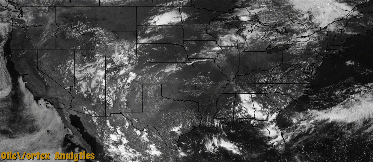
Tornado Reports
Sort by Time Sort by Rating Sort by State Sort by County| Time | Rating | Radar | State | County | Location | Narrative |
|---|---|---|---|---|---|---|
| 19:40Z | EF2 | KBIS | ND | Logan | Napoleon | A National Weather Service storm survey confirmed that an EF2 tornado on the Enhanced Fujita Scale touched down around seven miles south southwest of Napoleon, then moved east southeast before lifting four miles east of Burnstad. No fewer than three farmsteads were damaged along the path of the tornado. The worst damage occurred seven miles south southwest of Napoleon, where the tornado picked up and threw an 18 thousand bushel grain bin 250 yards, and also destroyed 1,800 feet of shelter belt trees near 100 feet tall. East southeast of this farmstead, the tornado lifted and rolled a ten ton grain bin three quarters of one mile to another farmstead, where it impacted and damaged a barn. The damage corresponded to EF2 on the Enhanced Fujita Scale. From that it was determined that wind speeds with this tornado were around 120 miles per hour. |
| 19:55Z | EF0 | KPUX | CO | Pueblo | Cedarwood | A short-lived landspout tornado destroyed a carport and damaged a vehicle, and lifted the roof of a recreation room causing some minor damage. |
| 20:34Z | EF0 | KABR | ND | Mcintosh | Ashley | A tornado touched down in a field near Ashley. No damage was reported with this tornado. |
| 20:48Z | EF1 | KABR | ND | Dickey | Merricourt | A National Weather Service storm survey confirmed that an EF1 tornado on the Enhanced Fujita Scale briefly touched down five miles northwest of Merricourt. There was an eye witness to the tornado. A pole barn was damaged along with numerous trees snapped. The damage corresponded to low end EF1 on the Enhanced Fujita Scale. From that it was determined that wind speeds were on the order of 90 miles per hour. |
| 21:04Z | EF0 | KABR | ND | Dickey | Monango | A trained weather spotter reported a tornado on the ground near Monango. Very strong straight line winds were also reported. Damage was associated with the straight line winds. The tornado was reported in the open country with no damage attributed to it. |
| 21:35Z | EF0 | KABR | ND | Dickey | Glover | A visual confirmation of a brief tornado touchdown was received. The tornado was reported to have touched down in open fields northwest of Oakes, with no damage attributed to it. |
| 21:50Z | EF2 | KABR | ND | Sargent | Nicholson | This tornado was enshrouded in downburst winds and heavy rains, but was briefly visible to spotters near Cogswell. The tornado ripped out nearly seven miles of dual wooden high voltage power line along its track. Numerous trees and singular power poles were snapped and pole sheds and steel grain bins were destroyed at multiple locations. Peak winds were estimated at 120 mph. |
| 22:21Z | EF1 | KABR | ND | Sargent | Milnor Muni Arpt | This tornado was likely wrapped in heavy rains and downburst winds for much of its track. The tornado snapped or uprooted numerous elm and ash trees in farm shelterbelts and in the town of Delamere. Peak winds were estimated at 100 mph. |
| 22:53Z | EF1 | KABR | ND | Richland | Stiles | The tornado became enshrouded in heavy rains and downburst winds. Several trees were snapped or uprooted in farm shelterbelts. Peak winds were estimated at 95 mph. |
| 01:47Z | EF0 | KMPX | MN | Kandiyohi | Atwater | There were several reports of a brief tornado from Skywarn Spotters and the public in a field along 310th Street, approximately 5 miles north-northeast of Atwater, Minnesota. An EF-0 tornado was confirmed the next day by a National Weather Service Service Team near the Kandiyohi/Meeker County line.||One detailed account indicated the condensation of the tornado reached the ground for about 20 seconds before the tornado dissipated. This occurred in a corn field.||Based on radar and information from the survey, winds were around 65 mph, with a path length near an 1/8 of a mile, and a width of 10 yards. |
| 07:52Z | EF0 | KDMX | IA | Webster | Moorland Nesler Arpt | An intermittent path captured by photographs from an airplane. The narrow path was entirely in fields of corn and soybeans as it moved nearly due east. |
Storm reports are derived from "The Storm Events Database" (National Centers for Environmental Information) and/or "Past Storm Reports" (Storm Prediction Center).