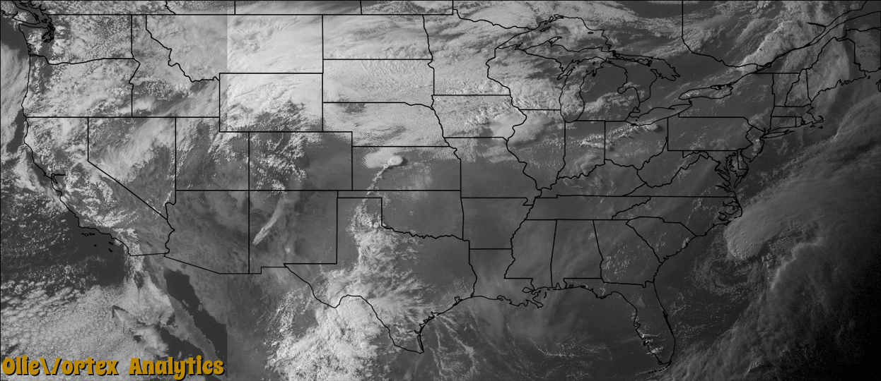
Tornado Reports
Sort by Time Sort by Rating Sort by State Sort by County| Time | Rating | Radar | State | County | Location | Narrative |
|---|---|---|---|---|---|---|
| 23:48Z | EF0 | KDDC | KS | Russell | Gorham | Brief tornado touchdown in open country. |
| 01:35Z | EF0 | KDDC | KS | Russell | Gorham | Brief touchdown over open country. |
| 01:44Z | EF0 | KDDC | KS | Russell | Milberger | The tornado moved over open country. |
| 02:08Z | EF0 | KDDC | KS | Rush | Hargrave | This brief and weak tornado was the first of many that a large supercell thunderstorm produced. This one did damage to a shed and blew a sign down. |
| 02:15Z | EF0 | KDDC | KS | Rush | Hargrave | Based on a damage survey, radar data and spotter reports this slow moving tornado moved south, then east and finally east and northeast making a winding loop. Damage was done to trees and an outbuilding. |
| 02:22Z | EF1 | KDDC | KS | Rush | Hargrave | This tornado moved in a loop starting moving east and then northeast. Damage was done to a trees and outbuildings. |
| 02:30Z | EF2 | KDDC | KS | Rush | Hargrave | This tornado became a wedge as it traveled northeast and finally north and west as it dissipated. Damage was done to a couple of farms, trees, outbuildings and pivot sprinklers. |
| 02:40Z | EF1 | KDDC | KS | Rush | La Crosse Hoover Arp | This was a satellite tornado with the wedge to the northwest of LaCrosse. This satellite tornado passed through the town of LaCrosse and damaged numerous trees, several buildings and destroyed 3 camper trailers. Fortunately the occupants were not in the trailers or there would of likely been injuries, if not fatalities. |
| 02:40Z | EF2 | KUEX | KS | Russell | Russell | Tornado moved through a small housing area just to the south of Russell causing extensive damage to four homesteads. |
| 02:45Z | EF2 | KDDC | KS | Rush | La Crosse | This tornado may have been another satellite tornado based on spotter video and from the damage survey moved north through trees but yet was east of the larger wedge tornado. |
| 02:58Z | EF2 | KDDC | KS | Rush | Bison | This tornado starting moving north then turned back to the northwest and finally west before dissipating. It did damage mainly to trees and power lines. During the damage survey there was evidence of significant ground and vegetation scouring. |
| 03:11Z | EF1 | KDDC | KS | Rush | Loretta | Damage was done to trees from this tornado. |
| 03:35Z | EF0 | KDDC | KS | Rush | Loretta | This tornado moved into Ellis county at 10:40 CDT. |
| 03:40Z | EF1 | KDDC | KS | Ellis | Pfeifer | This tornado moved out of Rush county at 10:40 PM CDT and did damage to trees and power poles. |
Storm reports are derived from "The Storm Events Database" (National Centers for Environmental Information) and/or "Past Storm Reports" (Storm Prediction Center).