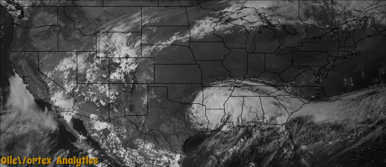
Tornado Reports
Sort by Time Sort by Rating Sort by State Sort by County| Time | Rating | Radar | State | County | Location | Narrative |
|---|---|---|---|---|---|---|
| 12:10Z | EF2 | KMOB | MS | Jackson | Pascagoula | A tornado touched down in the south portion of Pascagoula. Most of the damage was consistent with EF-1 scale damage consisting of downed trees and light structural damage to a few houses. A small area of significant damage...EF-2...occurred where nearly all of the roof of a large house was blown off. Path length 0.7 miles. Path width 40 yards. |
| 14:49Z | EF1 | KMOB | MS | Clarke | Creek | This tornado touched down near Crandall and moved northward across eastern Clarke County, ending just south of MS Highway 18. Two mobile homes were heavily damaged and a semi truck was rolled. At a baseball field, two light poles were snapped at the base, the concession stand roof was removed, and a fence was damaged. Multiple outbuildings were damaged or destroyed along the path. Numerous trees were snapped or uprooted. Maximum sustained winds were estimated at 105 mph. |
| 15:18Z | EF1 | KDGX | MS | Lauderdale | Increase | This tornado touched down just east of Causeyville Road near Little Browns Creek, and tracked northwestward ending along Covington Loop. A couple of barns were damaged, two sheds were blown into a pond, and another shed was damaged by a fallen tree. Numerous trees were snapped or uprooted along the path. Maximum sustained winds were estimated at 100 mph. |
| 15:58Z | EF0 | KMOB | AL | Choctaw | Toxey | A weak tornado briefly touched downing a few trees near Toxey. |
Storm reports are derived from "The Storm Events Database" (National Centers for Environmental Information) and/or "Past Storm Reports" (Storm Prediction Center).