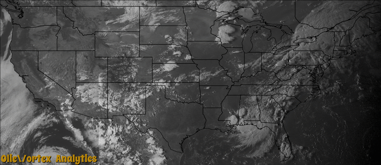
Tornado Reports
Sort by Time Sort by Rating Sort by State Sort by County| Time | Rating | Radar | State | County | Location | Narrative |
|---|---|---|---|---|---|---|
| 22:31Z | EF0 | KDIX | NJ | Camden | Gloucester Hgts | A weak EFO tornado touched down in Mount Ephraim at 631 p.m. EDT on the 4th. The tornado initially touched down on the west side of Cleveland Avenue. It then moved eastnortheast, crossed Jefferson Avenue and lifted as it approached Kings Highway. (County Route 551). Several homes in the area experienced roof damage, mainly from fallen tree limbs. A couple of large trees were uprooted. One badly damaged a concrete sidewalk. The maximum wind speeds were estimated at 70 mph. The path length was about 0.15 miles and the maximum path width was 25 yards. |
| 00:37Z | EF2 | KARX | WI | Grant | Patch Grove | A slow moving tornado formed on the edge of a passing severe thunderstorm between Patch Grove and Bloomington. The tornado was mainly confined to one landowner near Hickory and Maine Roads in rural Grant County. Several outbuildings, a barn, and the home were demolished or heavily damaged. Trees on the property were also sheared off or blown over. Considering the roof was torn off and several walls were down or damaged, the tornado was rated an EF2 but it's possible the slow movement allowed the tornado to remain nearly stationary long enough to cause worse damage. Interviews by local residents and video evidence suggests the tornado may have moved to the northwest at times as well. |
Storm reports are derived from "The Storm Events Database" (National Centers for Environmental Information) and/or "Past Storm Reports" (Storm Prediction Center).