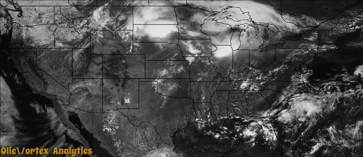
Tornado Reports
Sort by Time Sort by Rating Sort by State Sort by County| Time | Rating | Radar | State | County | Location | Narrative |
|---|---|---|---|---|---|---|
| 18:58Z | EF0 | KABR | SD | Hand | Miller | A tornado touched down briefly with no damage reported. |
| 19:55Z | EF0 | KABR | SD | Clark | Carpenter | A tornado touched down for a few minutes with no damage reported. |
| 20:03Z | EF0 | KABR | SD | Kingsbury | Osceola | A brief tornado caused tree damage. |
| 20:08Z | EF0 | KABR | SD | Clark | Carpenter | A tornado touched down with no damage reported. The public reported over eighty mph inflow winds with some tree damage occurring. |
| 20:10Z | EF0 | KFSD | SD | Kingsbury | De Smet Muni Arpt | A brief tornado caused no reported damage. |
| 20:34Z | EF0 | KFSD | SD | Hamlin | Lake Norden | A rain wrapped tornado touched down with no damage reported. |
| 21:01Z | EF0 | KCYS | NE | Cheyenne | Brownson | A weak tornado touched down in open country south of Potter and Interstate 80. The tornado moved slightly west of due north, then dissipated a few minutes later. No damage was reported. |
| 22:01Z | EF0 | KCYS | NE | Cheyenne | Huntsman | A weak tornado touched down in open country north of Sidney. The tornado moved east, then dissipated a few minutes later. No damage was reported. |
| 22:19Z | EF0 | KFSD | MN | Lyon | Amiret | A brief tornado caused no reported damage. |
| 23:31Z | EF0 | KUDX | NE | Sheridan | Gordon | A tornado formed 5 miles south southeast of Gordon at 1731MST in a corn field. It moved southeast for a path length of three quarters of a mile where a center irrigation pivot system was damaged and crop destroyed in the path. In addition, six power poles were pulled out of the ground and a tree line damaged before dissipating at 1739MST. The tornado was rated an EF0 with an average path width of .20 yards. |
Storm reports are derived from "The Storm Events Database" (National Centers for Environmental Information) and/or "Past Storm Reports" (Storm Prediction Center).