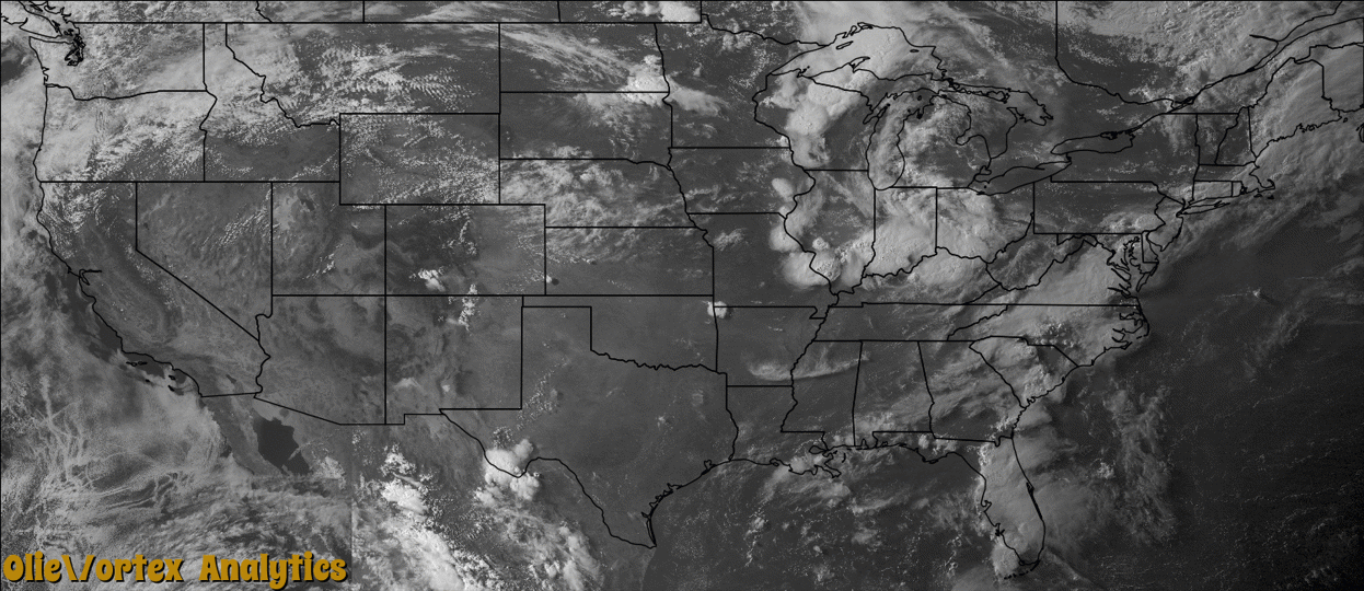
Tornado Reports
Sort by Time Sort by Rating Sort by State Sort by County| Time | Rating | Radar | State | County | Location | Narrative |
|---|---|---|---|---|---|---|
| 17:41Z | EF0 | KDMX | IA | Webster | Vincent | Several reports and pictures of a landspout northwest of Vincent. Tornado moved very slowly southeast. |
| 23:16Z | EF1 | KVWX | IN | Pike | Otwell | A wooden equipment storage shed was destroyed. The shed was approximately 40 by 80 feet in size. Peak wind speeds were estimated near 100 mph. Trained spotters reported a funnel cloud of varying intensity, which would occasionally seem to dissipate and then re-form. |
| 01:29Z | EF1 | KLVX | IN | Perry | Troy | A circulation embedded within a strong line of storms spawned an EF-1 tornado that touched down to the northwest of Tell City, in Perry County, Indiana. It moved southeast for just over 5 miles across Tell City, lifting just south of the intersection of State Highway 237 and Scotch Pine Road. Several large trees were felled along the entire tornado's path, and several homes in Tell City received damage to their roofs. Numerous outbuildings were destroyed. A carnival site at the intersection of 10th and Watt Streets was damaged. A few rides were displaced and a semi-trailer was overturned. Many tree branches were snapped southeast of Tell City before the tornado lifted. |
| 03:25Z | EF2 | KLVX | KY | Larue | Tonieville | During the late evening hours, a bowing segment embedded within a lengthy line of storms parallel to and south of the Ohio River began to surge southeast. On the northeast section of this segment, a reflectivity notch became apparent. A circulation developed and quickly spawned an EF-2 tornado across northern LaRue County. ||The tornado touched down near the Hardin-LaRue county line between Routes 210 and 61 just northeast of Tonieville. On Castleman Road, just northeast of the Castleman-Carter Brother's Road intersection, a metal shop had its metal sheeting roof removed and thrown downwind around 100 yards. Its garage door was bent and insulation was scattered about. Several trees were uprooted near this location. Damage was estimated as EF-1. ||Downstream, on Carter Brother's Road, a large RV was blown on its side within a mostly destroyed shed. A two story pole tobacco barn was destroyed. Many Red and White Oak trees were either sheared off or had lost many large limbs. Across the road a metal livestock building was destroyed with chaotic damage around a house. Winds here were estimated at around 115 mph, or EF-2.| |Along State Road 1607, not far from the intersection of Salem Church and Dan Dunn Roads, a silo was caved in and a portion of a corn field flattened. ||Considerable damage was surveyed along portions of Slack Road. A one-room schoolhouse was destroyed. A dairy farm had several buildings destroyed, along with many trees uprooted. Based on damage to this dairy farm, tornadic winds up to 130 mph were estimated, near the high end of the EF-2 scale. Also along Slack Road, a two-story house has its entire roof removed. Blown-in insulation was caked on the entire side of a house. A shed was destroyed along with a few trees. The tornado lifted around one fifth of a mile northeast of Nuff Cemetery, near the intersection of Trumbull and Roanoke Roads. |
Storm reports are derived from "The Storm Events Database" (National Centers for Environmental Information) and/or "Past Storm Reports" (Storm Prediction Center).