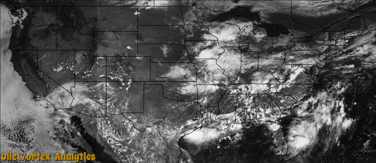
Tornado Reports
Sort by Time Sort by Rating Sort by State Sort by County| Time | Rating | Radar | State | County | Location | Narrative |
|---|---|---|---|---|---|---|
| 18:30Z | EF0 | KJAX | FL | St. Johns | Riverdale | A tornado/waterspout was observed. No damage was reported. |
| 22:42Z | EF0 | KMBX | ND | Mchenry | Granville | An aircraft pilot with the North Dakota Atmospheric Resource Board reported seeing a tornado, seeing evidence that it was in contact with the ground, in rural McHenry County. Doppler radar was used to narrow the more exact location. Follow up with emergency management indicated there were no reports of damage and so the tornado was rated EF0. Prior to touchdown a funnel cloud was observed for several minutes. See the funnel cloud entry for this same day in McHenry County. |
| 00:18Z | EF0 | KSGF | MO | Greene | Springfield | A NWS storm survey indicated that an EF-0 tornado touched down near the intersection of East Cairo Street and South Pickwick Avenue. The tornado traveled east along East Cairo Street and lifted at the the intersection of East Cairo Street and Glenstone. The tornado caused several large tree branches to be blown down and damage to roofs to several houses along with several power lines to be blown down. Several windows to homes and businesses were broken or blown out. At least two businesses had roof and window damage. Winds were estimated around 60 mph with a path width of 50 yards and about half a mile length. |
| 02:08Z | EF1 | KMVX | ND | Ramsey | Starkweather | The tornado snapped about six wooden power poles along county road 17 before it dissipated. Peak winds were estimated at 95 mph. |
| 06:33Z | EF1 | KMVX | MN | Polk | Trail | This tornado continued into Clearwater County before it dissipated. The tornado snapped and uprooted numerous trees along its path. Peak winds were estimated at 90 mph. The entire path length across the two counties was nearly 7 miles. |
| 06:46Z | EF1 | KMVX | MN | Clearwater | Berner | This tornado began in Polk County, about one mile north of Trail, at 12:33 am CST. The tornado snapped and uprooted numerous trees along its entire seven mile path. Peak winds were estimated at 90 mph. |
| 06:50Z | EF2 | KMVX | MN | Mahnomen | Mahnomen | This tornado continued into Clearwater County, where it lifted at about 0130 am CST, west-northwest of Zerkel. The tornado damaged structures at three locations along the route with long tracks of tree and crop damage evident. Peak winds were estimated at 115 mph. |
| 07:20Z | EF2 | KMVX | MN | Clearwater | Zerkel | This tornado began in Mahnomen County, just southeast of Mahnomen, at 12:50 am CST. The total tornado track was about 21 miles. The tornado damaged structures at three locations along the route with long tracks of tree and crop damage. Peak winds were estimated at 115 mph. |
Storm reports are derived from "The Storm Events Database" (National Centers for Environmental Information) and/or "Past Storm Reports" (Storm Prediction Center).