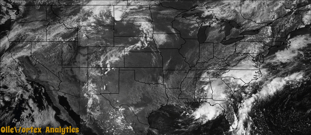
Tornado Reports
Sort by Time Sort by Rating Sort by State Sort by County| Time | Rating | Radar | State | County | Location | Narrative |
|---|---|---|---|---|---|---|
| 18:35Z | EF0 | KHGX | TX | Galveston | Nadeau Hgts | An EF0 tornado briefly touched down at an oil refinery. There was minimal damage to one of the buildings, and one vehicle's window was shattered. |
| 00:35Z | EF0 | KMVX | ND | Eddy | Brantford | A funnel formed northwest of McHenry (which is actually located in Foster County), north of the Eddy/Foster county line, and touched down near highway 20. The tornado then tracked intermittently to the east-northeast for about eight miles (about four miles of this occurred in Eddy County), to around three miles west-northwest of Red Willow Lake (in Griggs County). Numerous large tree tree branches were broken down or tree trunks snapped along the damage path. Peak winds were estimated at 80 mph. |
| 00:41Z | EF0 | KMVX | ND | Griggs | Mose | This tornado began in Eddy County at 1835 CST, with its first four miles of track in that county. The tornado crossed into Griggs County at 1841 CST and tracked intermittently to the east-northeast for about another four miles (the total track was about eight miles), where it ended about three miles west-northwest of Red Willow Lake. Numerous large tree branches were broken down or tree trunks snapped along the path. Peak winds were estimated at 80 mph. |
| 00:47Z | EF0 | KMVX | ND | Nelson | Tolna | A brief touchdown was observed over open country near the Sheyenne River. Peak winds were estimated at 70 mph. |
| 01:29Z | EF1 | KMVX | ND | Grand Forks | Kempton | This tornado tracked intermittently for about eight miles before ending about two miles south-southeast of Arvilla. The tornado snarled trees in shelterbelts and broke down numerous large tree branches, limbs, and whole tree trunks along its path. A few rural residences and farm buildings had shingles torn off, quonset doors ripped off, and outbuildings damaged. Peak winds were estimated at 90 mph. |
| 01:52Z | EF2 | KMVX | MN | Polk | Eldred | The tornado, which was wrapped in heavy rains and damaging downburst winds, tracked from near Eldred, through the south side of Crookston, through Gentilly, where it crossed into Red Lake County and ended about eight miles east-southeast of Red Lake Falls. The tornado snapped or uprooted numerous trees along its path, tore sections of roofing off of buildings and residences, tumbled empty rail cars, and snapped power poles along its nearly 38 mile path (about 25 miles in Polk County). Peak winds were estimated at 120 mph. |
| 02:22Z | EF2 | KMVX | MN | Red Lake | Perault | This tornado began near Eldred, in Polk County, at 1952 CST. From Eldred, it tracked across the south side of Crookston, through Gentilly, where it crossed into Red Lake County about four miles east-northeast of Gentilly. From this point it continued east-northeast to a point about eight miles east-southeast of Red Lake Falls. The total track length was about 38 miles, with about 13 miles of the total in Red Lake County. The tornado was wrapped in heavy rains and damaging downburst winds and it snapped or uprooted numerous trees along its path, tore sections of roofing off of buildings and residences, tumbled empty rail cars, and snapped power poles. Peak winds were estimated at 120 mph. |
Storm reports are derived from "The Storm Events Database" (National Centers for Environmental Information) and/or "Past Storm Reports" (Storm Prediction Center).