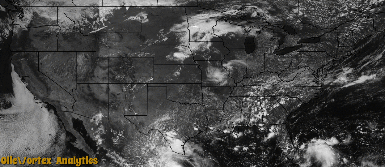
Tornado Reports
Sort by Time Sort by Rating Sort by State Sort by County| Time | Rating | Radar | State | County | Location | Narrative |
|---|---|---|---|---|---|---|
| 08:26Z | EF0 | KMVX | ND | Barnes | Hastings | A tornado tracked for about a mile or so, crossing state highway 1 in northeast Skandia Township. A thirty yard wide path was evident in a nearby field and several large branches were broken down in a shelterbelt and tossed a hundred yards or more downwind. Peak winds were estimated at 80 mph. |
| 09:17Z | EF1 | KMVX | ND | Cass | Leonard | A tornado wrapped in downburst winds and heavy rain tracked intermittently for about eleven miles. Brick facing and roofing material were torn off a building in Leonard. Numerous large two foot diameter cottonwood and oak trees were blown over or snapped at farmsteads and shelterbelts along and north of highway 46. Peak winds were estimated at 100 mph. |
| 09:48Z | EF2 | KMVX | MN | Otter Tail | Rothsay | A tornado tracked intermittently for about two miles, leaving a track through corn and grain fields. It tore down numerous two to three foot diameter hardwood trees and ripped shingles, roofing, and siding off a house. Peak winds were estimated at 120 mph. |
| 10:42Z | EF1 | KMVX | MN | Otter Tail | New York Mills | A tornado wrapped in downburst winds and heavy rain tracked intermittently for about two miles across east central Newton Township. The tornado knocked down numerous trees and large tree branches, broke a few power poles, and overturned a hayrack along its route. Peak winds were estimated at 95 mph. |
Storm reports are derived from "The Storm Events Database" (National Centers for Environmental Information) and/or "Past Storm Reports" (Storm Prediction Center).