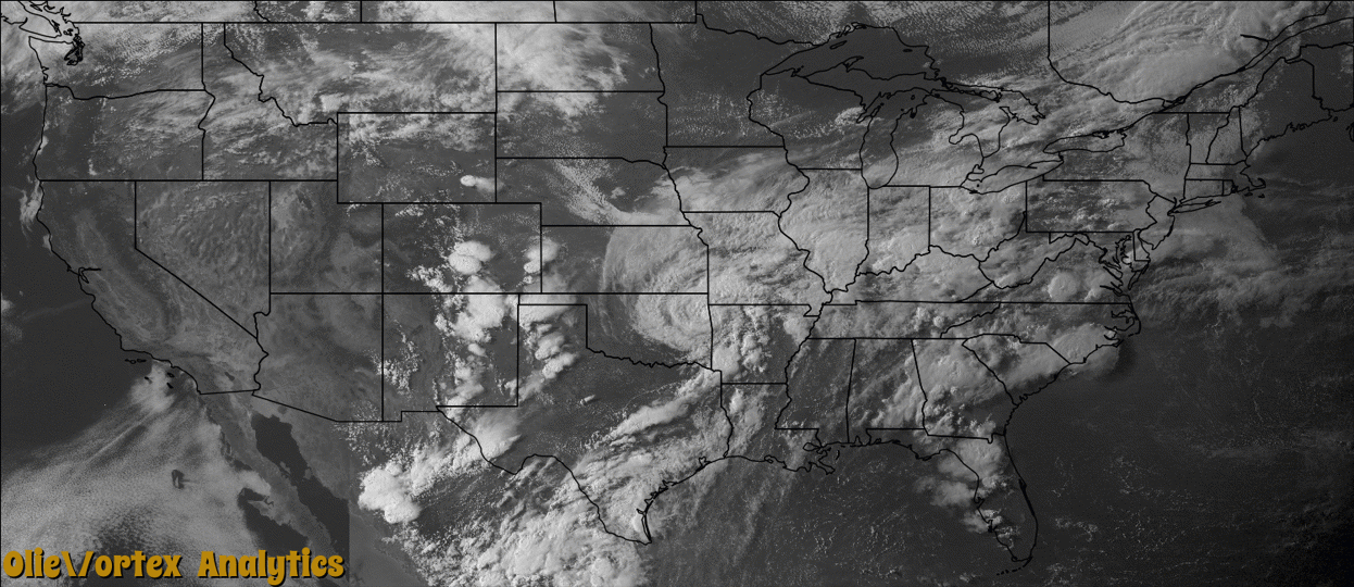
Tornado Reports
Sort by Time Sort by Rating Sort by State Sort by County| Time | Rating | Radar | State | County | Location | Narrative |
|---|---|---|---|---|---|---|
| 23:07Z | EF1 | KCLE | OH | Stark | Uniontown | An EF-1 tornado touched down in Uniontown near the Uniontown Fire Department and traveled east southeast along an intermittent path for approximately 9 miles through Lake Township. Most of the damage observed was to trees that were uprooted or snapped part of the way up of the ground. A newly constructed dairy barn in Marlboro township near State Route 44 and St. Peters Church Road had significant roof damage. Minor roof and siding damage was observed along the tornado path. |
| 00:53Z | EF0 | KAKQ | VA | Richmond | Ramey Ft | The tornado began 2 miles west of German's Corner in Richmond County, tracking southeast for about 6 miles passing near Naylors Beach and crossing Highway 360. Peak winds were between 70 and 80 mph. Hardwood trees were uprooted and snapped off. Power lines were downed. |
| 01:28Z | EF0 | KAKQ | VA | Richmond | Ivandale | The tornado touched down just north and northeast of Sharps near Ivondale in Richmond County. The tornado tracked along Farnham Creek Road crossing Hales Point Road and Simonson Road. Hardwood trees were uprooted and snapped off. Power lines were downed. Peak winds were between 60 to 70 mph. |
| 01:51Z | EF0 | KAKQ | VA | Lancaster | Mollusk | The tornado touched down in Lancaster County near Mollusk and tracked southeast to Ottoman. This tornado remained mostly in the tree tops and bounced as it tracked southeast for about 4 miles. The tornado paralleled River Road eventually crossing River Road near Ottoman. Peak winds were between 60 to 70 mph. Hardwood trees were uprooted and snapped off. Power lines were downed. |
Storm reports are derived from "The Storm Events Database" (National Centers for Environmental Information) and/or "Past Storm Reports" (Storm Prediction Center).