Tornado Reports
Sort by Time Sort by Rating Sort by State Sort by County| Time | Rating | Radar | State | County | Location | Narrative |
|---|---|---|---|---|---|---|
| 22:20Z | EF1 | KLVX | KY | Green | Gresham | This brief tornado tracked for approximately 1.1 miles with a maximum width of 50 yards. The highest winds were estimated to have been 95 to 105 mph. The tornado destroyed two barns and one mobile home in addition to considerable roof damage to six outbuildings along Ebenezer Road and Highway 61 southeast of Greensburg. |
| 22:58Z | EF0 | KLVX | KY | Adair | Breeding | This small tornado destroyed one outbuilding in addition to uprooting and snapping limbs on several trees in a very narrow path near the community of Breeding in southwest Adair County. |
| 23:13Z | EF0 | KOHX | KY | Cumberland | Ashlock | This small tornado destoryed one outbuilding and tore roof panels off another before crossing the state line into the Pearidge area of Tennessee just west of Dale Hollow Lake. |
| 23:33Z | EF0 | KARX | WI | Richland | Lone Rock | A small, short-lived tornado produced roof damage and blew down two large trees onto a house in Lone Rock. Other trees were snapped off about 20 feet above the ground. |
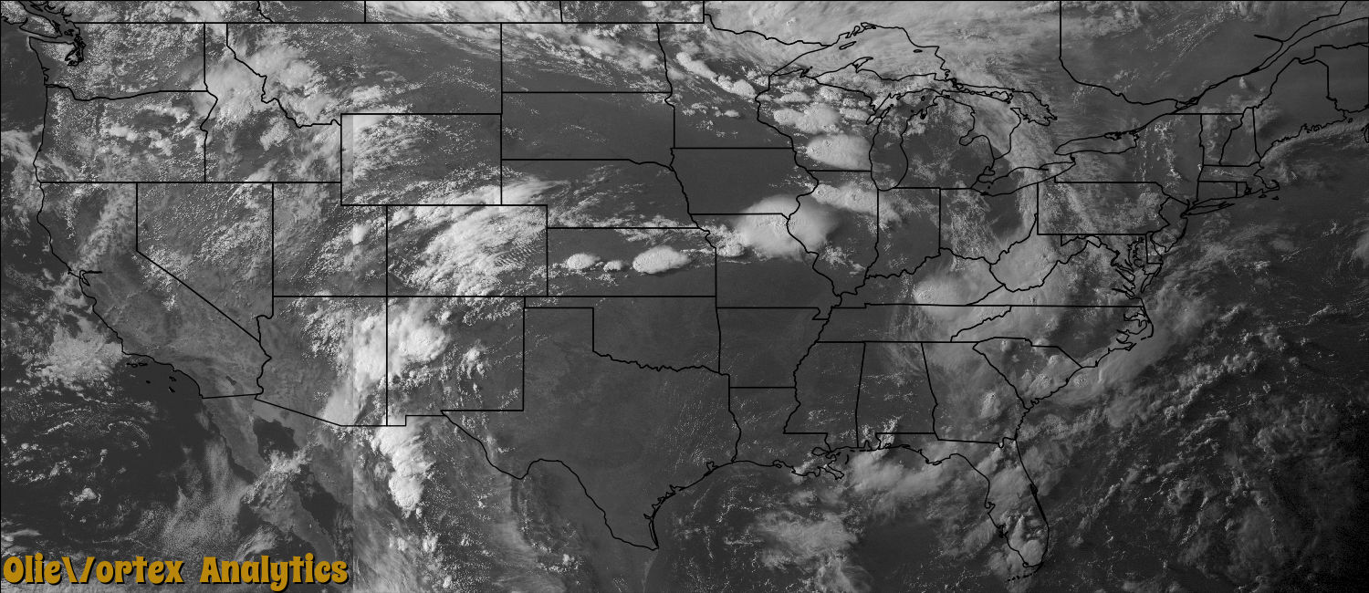
| 23:34Z | EF1 | KICT | KS | Rice | Saxman | A rope tornado was reported as it moved unconventionally to the southwest. One home took minor damage right after touchdown. A few windows were blown out and a man was blown out of his chair. Otherwise, significant tree damage (DI27 DOD3) was noted along the 150 yard wide path. This tornado moved into Reno County. |
| 23:41Z | EF3 | KICT | KS | Reno | Nickerson | A strong tornado moved southwest towards the town of Nickerson. One home was completely destroyed as it was blown off of its foundation. There were no anchor bolts present in the foundation (DI2 DOD9). The second more significant damage sight was where many trees were completely uprooted. Those that were not uprooted only had the main trunk left and it was completely debarked. The home took a glancing blow and only had minor damage. The family took shelter in an above ground shelter in their garage. The damage path for this portion of the tornado that moved out of Rice County was 350 yards wide. |
| 00:18Z | EF0 | KOHX | TN | Clay | Pea Ridge Store | An EF0 tornado touched down in Cumberland County KY along Ashlock Road and moved southeast, crossing the border into Clay County TN along Poindexter Road. The tornado continued southeast along Ashlock Road before lifting near Highway 53. A few homes suffered roof damage and several outbuildings were damaged or destroyed. Numerous trees and power lines were blown down along the path. Maximum winds were estimated at 80 mph. The total path length for the tornado in KY and TN was 1.5 miles. |
| 00:59Z | EF0 | KLOT | IN | Benton | Boswell | A short lived tornado touched down and was on the ground for around a minute. The tornado occurred in an open area with no damage. |
| 01:15Z | EF0 | KIND | IN | Warren | Greenhill | A supercell thunderstorm produced a brief EF0 tornado about 18 miles west of Lafayette or about 2.5 miles southeast of Pine Village in Northern Warren County. The tornado was observed by a trained spotter briefly touching down in a corn field, producing no damage other than to the crops at the touchdown point. |
| 01:25Z | EF1 | KIND | IN | Putnam | Groveland | NWS survey revealed EF1 damage with 90 mph winds in the northeast tip of the Heritage Lake area. Tornado damage was embedded in a broad area of downburst damage across northeast Putnam County. |
| 01:27Z | EF1 | KIND | IN | Putnam | Groveland | NWS survey revealed EF1 damage with approximately 93 mph winds snapping numerous trees on County Road 600 East. |
| 05:15Z | EF0 | KGRR | MI | Kent | Browne Center | A NWS storm survey concluded that an EF-0 tornado touched down about a third of a mile southwest of 84th street and Morse Lake Road in Alto. The tornado had a maximum path width of 50 yards and was on the ground for about 2 minutes. Peak wind speeds were estimated at 75 to 85 mph. It caused roof damage to one home and snapped and uprooted several trees. There were no injuries. |
Storm reports are derived from "The Storm Events Database" (National Centers for Environmental Information) and/or "Past Storm Reports" (Storm Prediction Center).