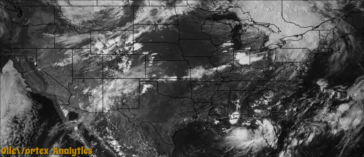
Tornado Reports
Sort by Time Sort by Rating Sort by State Sort by County| Time | Rating | Radar | State | County | Location | Narrative |
|---|---|---|---|---|---|---|
| 20:33Z | EF1 | KIND | IN | Tippecanoe | Stockwell | NWS survey revealed EF1 damage with approximately 100 mph winds affecting a residence south of Newcastle Road, between County Road 775 East and County Road 900 East in southeast Tippecanoe County. Numerous trees, west of the affected residence, had tops sheared off or were downed completely and a garage at the residence was destroyed. |
| 20:38Z | EF1 | KIND | IN | Tippecanoe | Monroe | NWS survey revealed EF1 damage with approximately 97 mph winds in the southeast portion of Tippecanoe County, south of the intersection of Highway 52 and County Road 900 South. Observed damage included a collapsed garage, downed trees, and at least one home with vinyl siding removed. |
| 00:10Z | EF0 | KABR | SD | Marshall | Langford | A tornado touched down east northeast of Langford. The tornado damaged a cornfield and moved many hay bales. |
| 00:47Z | EF0 | KABR | SD | Day | Grenville | A tornado touched down southeast of Grenville damaging several trees in a couple shelter belts along with some corn. Near the end of its path, a horse trailer was rolled, a barn suffered significant roof damage, and numerous branches were downed. |
| 04:56Z | EF1 | KMPX | MN | Carver | New Germany | A storm survey indicated that an EF-1 tornado touched down in Hollywood Township in Carver County. The tornado spun up seven miles west-southwest of Watertown and continued east-northeast to two miles west-southwest of Watertown. The most damage occurred as the tornado crossed Vega Avenue where numerous trees were snapped and some minor structural damage was found. An apple orchard was also damaged with this tornado. There was a private weather station that measured a 99 mph wind gust before it blew off the roof. The path length was 5.1 miles long with a maximum wind speed of 105 mph. |
| 06:00Z | EF0 | KMPX | MN | Ramsey | Shoreview | A storm survey indicated that an EF-0 tornado touch downed in the northwest portion of North Oaks, near Charley Lake, and moved east-northeast to the southern side of Deep Lake, where the greatest number of trees were toppled and snapped. Some of the trees fell on houses, vehicles and other structures. The tornado had a path length of 1.9 miles with maximum winds of 80 mph. |
| 06:52Z | EF1 | KARX | WI | Dunn | Eau Galle | A storm survey indicated an EF-1 occurred near Eau Galle, Wisconsin. The EF-1 tornado formed one mile northwest of Eau Galle, and continued generally east to four miles east of Eau Galle. Most of the damage was down trees and power lines. The greatest damage occurred just north of Eau Galle, where trees were snapped and uprooted, and a home weather station reported a maximum wind gust of 88 mph. The maximum width was 50 yards and was on the ground for approximately 5.3 miles. |
| 07:02Z | EF0 | KARX | MN | Wabasha | Conception | A small, short-lived tornado damaged some corn, removed the tops off of two silos, blew in garage doors and moved tires off a sileage pile. |
Storm reports are derived from "The Storm Events Database" (National Centers for Environmental Information) and/or "Past Storm Reports" (Storm Prediction Center).