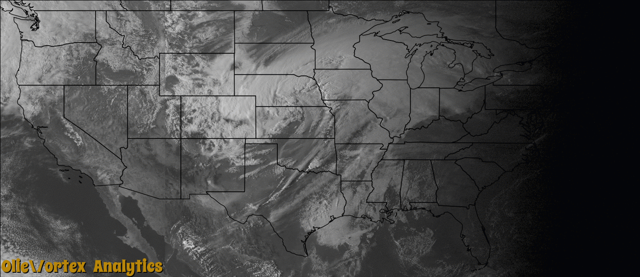
Tornado Reports
Sort by Time Sort by Rating Sort by State Sort by County| Time | Rating | Radar | State | County | Location | Narrative |
|---|---|---|---|---|---|---|
| 02:08Z | EF0 | KFWS | TX | Tarrant | Hicks | A National Weather Service damage survey team determined an EF-0 tornado briefly occurred on the night of March 23rd. This QLCS tornado spun up on the south side of US 287, before making a north to northeast track across the highway, damaging several storage buildings and two homes. Damage was limited at the homes, but the storage facility lost several awnings, overhead doors, and fences. |
| 02:51Z | EF1 | KSRX | OK | Adair | Stilwell | This is the first segment of a three segment tornado. In Adair County, this tornado snapped or uprooted numerous trees. Based on this tree damage, maximum estimated wind in this segment of the tornado was 95 to 105 mph. The tornado continued into Crawford County, Arkansas. |
| 02:54Z | EF2 | KSRX | AR | Crawford | Davidson | This is the second segment of a three segment tornado. In Crawford County, this tornado destroyed a mobile home and snapped or uprooted numerous trees. Two people in the mobile home at the time the tornado hit were severely injured. Based on this damage, maximum estimated wind in this segment of the tornado was 110 to 120 mph. The tornado continued into Washington County, Arkansas. |
| 02:59Z | EF2 | KSRX | AR | Washington | Odell | This is the third segment of a three segment tornado. In Washington County, this tornado destroyed several mobile homes, rolled a sport utility vehicle several hundred feet, destroyed outbuildings, severely damaged two homes, and snapped or uprooted numerous trees. Two people were injured when a double-wide mobile home they were in was rolled. Based on this damage, maximum estimated wind in this segment of the tornado was 120 to 130 mph. |
| 04:08Z | EF1 | KSGF | MO | Barry | Flat Creek | A NWS survey confirmed a that an EF-1 tornado touched down 1 mile northeast of Shell Knob near Stallion Bluff Road and tracked nearly 4 miles to the northeast into the Mark Twain National Forest. The tornado moved into Stone County and lifted just after crossing the Piney Creek Cover on Table Rock Lake. The tornado was 200 yards wide with estimated maximum winds up to 100 mph. |
| 04:11Z | EF1 | KSGF | MO | Stone | Cape Fair | A NWS survey confirmed a that an EF-1 tornado touched down 1 mile northeast of Shell Knob near Stallion Bluff Road and tracked nearly 4 miles to the northeast into the Mark Twain National Forest. The tornado moved into Stone County and lifted just after crossing the Piney Creek Cover on Table Rock Lake. The tornado was 200 yards wide with estimated maximum winds up to 100 mph. |
Storm reports are derived from "The Storm Events Database" (National Centers for Environmental Information) and/or "Past Storm Reports" (Storm Prediction Center).