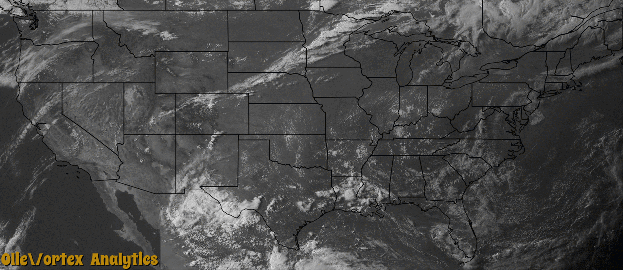
Tornado Reports
Sort by Time Sort by Rating Sort by State Sort by County| Time | Rating | Radar | State | County | Location | Narrative |
|---|---|---|---|---|---|---|
| 13:00Z | EF1 | KMVX | MN | Lake Of The Woods | Faunce | Foresters reported a swath of trees blown down as seen from access roads. Peak winds were estimated at 105 mph. |
| 23:22Z | EF0 | KMVX | MN | Roseau | Roseau Arpt | A brief tornado touchdown was observed near the Roseau River east of highway 310. Peak winds were estimated at 75 mph. |
| 23:29Z | EF0 | KMPX | MN | Wadena | Oylen | A brief touchdown occurred in an open field near the Wadena/Cass County line and appeared to move into Cass County before lifting. Peak winds were estimated at 75 mph. |
| 23:30Z | EF0 | KMPX | MN | Cass | Esterday | There was a brief touchdown with no reported damage. |
| 23:49Z | EF1 | KDLH | MN | Aitkin | Jacobson | The tornado developed in a wooded area and bog in far northern Aitkin County, about 1.25 miles north-northeast of the intersection of Highways 65 and 200. The tornado tracked northeast and continued into Itasca County. The tornado moved through far southeast Itasca County, crossing US Highway 2 and dissipating near a grove of trees approximately 1 mile west of the St. Louis County line. The tornado destroyed several pole barns, lofted a roof from a house, and destroyed the house. Analysis of the construction methods at this location, and surrounding damage, yielded a rating of EF-0. However, EF-1 tree damage was noted immediately west and north of Sabo 2 and continued eastward. The tornado reached its maximum intensity approximately 2.2 miles southwest of Wawina where high-end EF-1 damage was noted to a stand of trees. Oblique angle aerial photography from the western end of the track revealed a path through the bog adjacent to US-2, which was not directly observable from the air nor from the ground. The tornado moved through two small stands of trees breaking branches and snapping a few narrow trunks before dissipating. Several videos and photographs of this tornado have been reported. |
| 23:50Z | EF1 | KDLH | MN | Itasca | Swan River | The tornado developed in a wooded area and bog in far northern Aitkin County, about 1.25 miles north-northeast of the intersection of Highways 65 and 200. The tornado tracked northeast and continued into Itasca County. The tornado moved through far southeast Itasca County, crossing US Highway 2 and dissipating near a grove of trees approximately 1 mile west of the St. Louis County line. The tornado destroyed several pole barns, lofted a roof from a house, and destroyed the house. Analysis of the construction methods at this location, and surrounding damage, yielded a rating of EF-0. However, EF-1 tree damage was noted immediately west and north of Sabo 2 and continued eastward. The tornado reached its maximum intensity approximately 2.2 miles southwest of Wawina where high-end EF-1 damage was noted to a stand of trees. Oblique angle aerial photography from the western end of the track revealed a path through the bog adjacent to US-2, which was not directly observable from the air nor from the ground. The tornado moved through two small stands of trees breaking branches and snapping a few narrow trunks before dissipating. Several videos and photographs of this tornado have been reported. |
| 00:06Z | EF1 | KDLH | MN | St. Louis | Casco | The tornado developed east of the Burlington Northern Santa Fe railroad near the St. Louis River and tracked east-northeast for approximately 3.1 miles while producing sporadic pockets of low-end EF1 damage to softwood trees. The tornado struck a house which resulted in partial uplift of the roof and lofting of roofing materials. The tornado also flattened a decorative windmill and bent a flagpole. The roofing material was distributed downwind to a range of 380 yards. The tornado also snapped and uprooted several trees in this vicinity. The damage at this location was also rated EF-1. The sporadic damage track continued for another mile to the east-northeast. There was a distinct weakening of the tornado with several pockets of broken branches and limbs noted approximately 3 miles southwest of Zim. The tornado then turned southeast and the damage track tightened once again with a wide swath of EF-0 tree damage and pockets of low-end EF-1 damage. The sporadic EF-1 damage continued as the tornado crossed MN-7 and dissipated southwest of Stone Lake. |
| 00:11Z | EF2 | KMPX | MN | Crow Wing | Crosby Beach | The tornado formed 2 miles south-southwest of Deerwood, MN and traveled southeast across Nokay Lake Road where 2 mobile homes were destroyed. There were three residents of the mobile home- a mother, father and young son. The mother and father received non-life-threatening injuries. The tornado continued to move southeast over Placid Lake. Several mature hardwood trees were snapped approximately 5 feet above ground level on the west side of the lake indicating another area of EF2 damage. Additional EF2 tree damage was observed as the tornado moved onshore along the southeast side of Placid Lake. Extensive tree damage was observed along a stretch of MN-6, at a summer camp, and over portions of a golf course. The tornado weakened beyond the golf course and dissipated before reaching Tame Fish Lake Road. |
Storm reports are derived from "The Storm Events Database" (National Centers for Environmental Information) and/or "Past Storm Reports" (Storm Prediction Center).