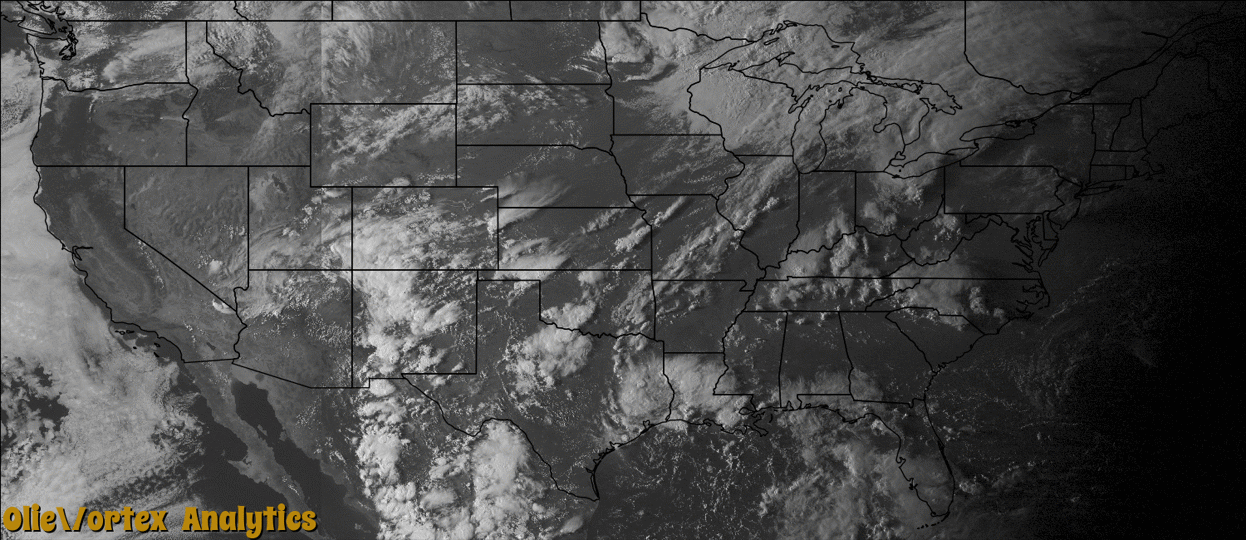
Tornado Reports
Sort by Time Sort by Rating Sort by State Sort by County| Time | Rating | Radar | State | County | Location | Narrative |
|---|---|---|---|---|---|---|
| 21:12Z | EF0 | KMVX | ND | Grand Forks | Arvilla | The tornado touched down in an open field. Peak winds were estimated at 70 mph. |
| 21:18Z | EF1 | KMVX | ND | Grand Forks | Arvilla | A large tornado tracked to the southeast and snapped or uprooted numerous trees along its path. It demolished a small barn and spread barn and ranch debris over a broad area. Peak winds were estimated at 110 mph. |
| 23:02Z | EF3 | KMVX | ND | Traill | Taft | The tornado destroyed a two car garage and snapped or uprooted numerous trees northwest of the Taft elevator. It crossed Interstate 29 near Taft and tore down filled grain bins, elevator legs, and tore the roofing off the office. It then tore the roof off and caved in the walls of a well built home east of the elevator complex. Peak winds were estimated at 140 mph. |
Storm reports are derived from "The Storm Events Database" (National Centers for Environmental Information) and/or "Past Storm Reports" (Storm Prediction Center).