Tornado Reports
Sort by Time Sort by Rating Sort by State Sort by County| Time | Rating | Radar | State | County | Location | Narrative |
|---|---|---|---|---|---|---|
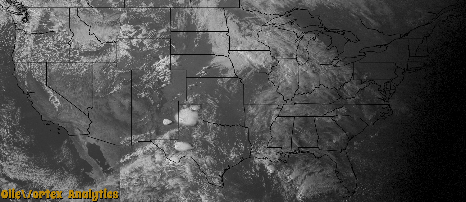
| 22:59Z | EFU | KFDX | TX | Parmer | Lazbuddie | A tornado was initially spotted northeast of Lazbuddie near the Parmer/Castro County line at 1659 CST, before continuing east into west-central Castro County. No evidence of damage accompanied this tornado. |
| 23:04Z | EFU | KLBB | TX | Castro | Dodd | This is the continuation of the prior tornado in Parmer County. This tornado tracked east into west-central Castro County where it dissipated around 1707 CST, about 12 miles west-southwest of Dimmitt. No evidence of damage accompanied this tornado. |
| 23:19Z | EF0 | KAMA | TX | Castro | Dimmitt | A storm chaser observed a brief tornado touchdown just south of the intersection of State Highway 86 and Farm to Market road 1524. Several power poles were downed along Farm to Market road 1524. |
| 23:27Z | EF0 | KAMA | TX | Castro | Dimmitt | Several storm chasers observed a tornado that began around the intersection of Farm to Market Road 1055 and County Road 618 and moved east for approximately two miles. Video evidence indicated this tornado moved over a feed lot and then into an open field. Several power lines were downed along Farm to Market Road 1055 and County Road 510. |
| 23:33Z | EF0 | KFDX | NM | De Baca | Dunlap | A weak landspout tornado developed roughly one mile east of U.S. Highway 285 between mile markers 160 and 165 northwest of Mesa, NM. No damage was observed with this storm. |
| 23:36Z | EF3 | KAMA | TX | Castro | Dimmitt Muni Arpt | An exceptionally large and significant tornado affected areas west of Dimmitt in Castro County. Along with video provided by storm spotters, a NWS storm survey team determined this tornado began just south of Highway 86 about 4 miles southwest of Dimmitt, before quickly assuming a very large wedge formation while moving slowly northeast. This tornado then turned north and northwest, before ending around the intersection of County Roads 511 and 511A. A satellite tornado reportedly accompanied this large tornado, however multiple video sources revealed this was only a satellite funnel. The most significant damage observed by the NWS survey team was found near the intersection of Farm to Market Road 2392 and County Road 510A. Here, a metal systems building was completely destroyed with its remnants lofted several hundred feet to the northwest. Several nearby homes sustained damage up to EF-2 intensity, with some residents riding out the tornado in their shelters. Fortunately, no injuries or fatalities accompanied this 1.1 mile wide tornado. Elsewhere along this large tornado's path, numerous power poles and center pivot irrigation systems were destroyed. |
| 00:45Z | EFU | KAMA | TX | Castro | Dimmitt Muni Arpt | A storm chaser observed a brief tornado a few miles north of Dimmitt. No damage was evident. |
| 01:04Z | EFU | KAMA | TX | Castro | Dimmitt | A storm chaser observed a brief rope tornado just north of State Highway 86 about six miles west of Dimmitt. No damage was reported. |
| 04:25Z | EFU | KLBB | TX | Swisher | Kress | A storm chaser recorded a tornado at night northwest of Edmonson. The tornado was backlit by frequent lightning. No damage was reported from this tornado. Radar indicated the parent circulation to this tornado behaved very erratically; initially moving northeast, then stalling for several minutes, then moving slowly southeast while dissipating. |
Storm reports are derived from "The Storm Events Database" (National Centers for Environmental Information) and/or "Past Storm Reports" (Storm Prediction Center).