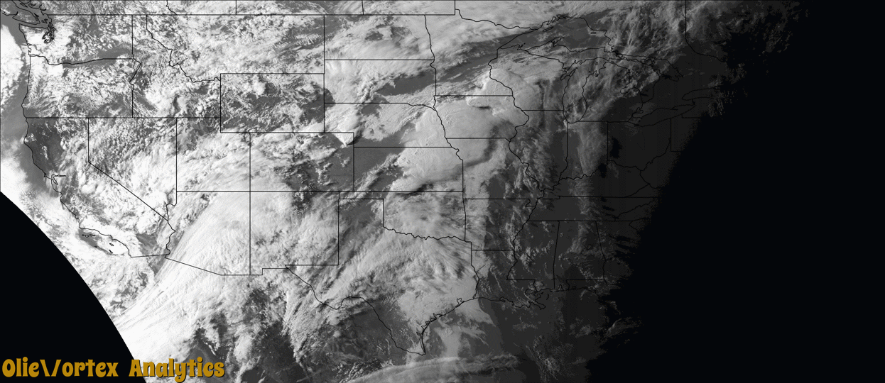
Tornado Reports
Sort by Time Sort by Rating Sort by State Sort by County| Time | Rating | Radar | State | County | Location | Narrative |
|---|---|---|---|---|---|---|
| 21:35Z | EF0 | KUEX | NE | Hamilton | Murphy | A nearly stationary landspout tornado occurred northwest of Aurora. This EF-0 tornado had a maximum wind speed estimated to be 70 MPH, which was based upon damage to a center irrigation pivot which was overturned. Several people witnessed this tornado. |
| 21:50Z | EF0 | KUEX | NE | Hall | Doniphan | This tornado touched down approximately 2 miles south of Doniphan and moved north before lifting on the south edge of Doniphan. The tornado was rated an EF-0 with a maximum wind speed estimated to be 75 MPH. This rating was based on damage to an outbuilding and nearby home. The damage to the home was caused by flying debris from the outbuilding. Other structures in the area sustained minor damage, such as broken windows, damage to soffits and garage doors. ||The path was determined from a combination of storm survey information, video, radar data, and other reports. Several reports indicate the possibility of other small circulations near the parent tornado, but the most reliable path information is related to the main parent circulation as given. |
| 22:44Z | EF0 | KUEX | KS | Republic | New Tabor | This was a broad and weak tornado that developed along the leading edge of a bowing line segment. It was witnessed by multiple sources but caused no reported damage. |
| 22:53Z | EF0 | KUEX | NE | Thayer | Chester | This EF-0 rated tornado moved in from Republic County, Kansas. The tornado was captured on video by a local farmer. The video and radar was used to determine the time. This tornado did not cause any significant damage as it moved through an open field, and the maximum wind speed was estimated to be 70 MPH. |
| 23:09Z | EF0 | KUEX | KS | Mitchell | Victor | This tornado was captured by video and photograph by a storm chaser. The tornado was rated an EF-0, moving over an open field with an estimated wind speed of 75 MPH. |
| 23:59Z | EF1 | KUEX | KS | Cloud | Glasco | This broad but weak tornado damaged several outbuildings and power lines along its path. End point based on an extrapolation of a video and radar data. |
| 00:08Z | EF0 | KICT | KS | Ellsworth | Ellsworth | The supercell thunderstorms produced a brief tornado touchdown in an open field. |
| 00:15Z | EF0 | KUEX | KS | Cloud | Aurora | This was a weak, intermittent tornado that hit few damage indicators. Path end point is estimated based on radar. |
| 00:23Z | EF0 | KTWX | NE | Gage | Krider | A spotter reported a tornado briefly touched down and lifted. |
| 00:41Z | EF1 | KICT | KS | Saline | Glendale | A supercell thunderstorm produced a tornado, across northern portions of Saline county, Kansas, 7 miles northwest of Salina, Kansas. When the tornado touched down, it produced damage to a metal barn. Part of the roof had been blown off and some of the side walls had been blown out. The tornado continued to track to the northwest and moved into Ottawa county, Kansas, just to the east of the town of Tescott. The tornado was on the ground for 1.6 miles, in Saline county, and had a path width of 200 yards. A National Weather Service survey team, rated the tornado an EF1, across Saline county. Note: the tornado would go on to produce EF3 damage across Ottawa county. |
| 00:44Z | EF3 | KICT | KS | Ottawa | Tescott | A strong tornado developed in far northwestern Saline county Kansas around 744pm CDT and moved northeast into Ottawa County doing damage to several structures including a single family home. The tornado was well documented by numerous chasers and become wide with multiple vortices noted on video. The lack of DIs in this part of Kansas can be a challenge when it comes to rating tornadoes and using the traditional methodology of DIs yielded a EF3 rating. The tornado dissipated just to the southwest of Minneapolis, KS around 810 pm CDT. |
| 00:49Z | EF1 | KTWX | KS | Clay | Clifton | This tornado developed in rural NW Clay County and tracked ENE. It damaged at least one farmstead, trees, and powerlines along its path. Beginning path segment estimated based on radar data and end point based on satellite imagery and damage reports. |
| 00:56Z | EF1 | KTWX | KS | Clay | Oak Hill | A tornado developed just northeast of Oak Hill and traveled along rural areas that were sparsely populated, doing damage to a farmstead including a few sheds and cedar trees but mostly open pasture. |
Storm reports are derived from "The Storm Events Database" (National Centers for Environmental Information) and/or "Past Storm Reports" (Storm Prediction Center).