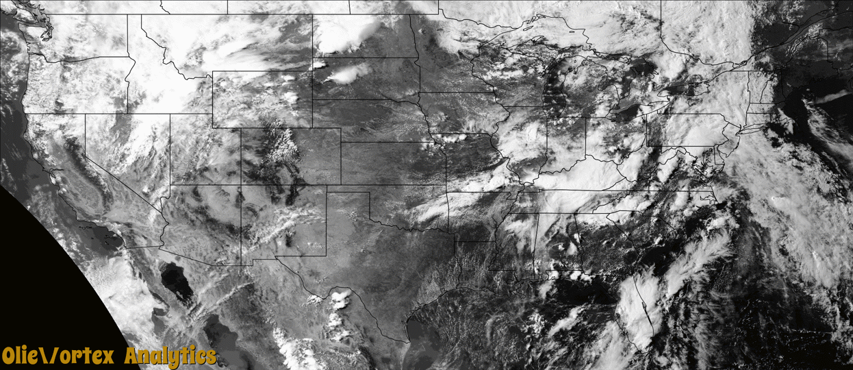
Tornado Reports
Sort by Time Sort by Rating Sort by State Sort by County| Time | Rating | Radar | State | County | Location | Narrative |
|---|---|---|---|---|---|---|
| 19:43Z | EF0 | KBIS | ND | Dunn | Emerson | The tornado occurred over rural locations northwest of Hirschville. No damage occurred, therefore the tornado was rated EF0. |
| 22:00Z | EF1 | KSFX | ID | Bingham | Atomic City | A tornado crossed portions of the Idaho National Laboratory (INL) around East and Middle Buttes to the north and east across US 20 (including near the MFC facilities) between 400 and 430 pm MDT. Due to sparseness of population and terrain, the only damage observed was at mile marker 277 on US Highway 20 at approximately 419 pm MDT. At this point, large sections of 2 snow fences were heavily damaged Multiple steel beems were bent and twisted to varying degrees, with portions of those beems that were below the surface and moved approximately one inch. The horizontal part of these fences, make of vinyl and steel cable, were ripped apart and strewn for several yards. Large metal pieces used to hold these together were snapped and/or thrown several yards away from the fence. Other indications of tornado damage included a sign snapped off at the ground, sagebrush that was partially or completely ripped from the ground, and several small size lava rocks tossed an unknown distance. ||Based on that evidence, the tornado was assigned an EF-1 rating. |
| 22:19Z | EF0 | KBIS | ND | Stark | Richardton | The tornado occurred over rural locations south of Richardton. No damage occurred, therefore the tornado was rated EF0. |
| 22:31Z | EF0 | KSFX | ID | Jefferson | Monteview | A spotter witnessed a rope tornado 15 miles south southwest of Mud Lake that quickly dissipated. |
| 23:15Z | EF0 | KBIS | ND | Morton | Glen Ullin | The tornado occurred over rural locations north of Glen Ullin. No damage occurred, therefore the tornado was rated EF0. |
| 00:44Z | EF1 | KPAH | MO | Cape Girardeau | Oriole | Peak winds were estimated near 90 mph. The tornado touched down on Highway V near County Road 607, then moved east across forested and hilly terrain. The tornado lifted as it crossed Highway 177 at the Trail of Tears State Park. Dozens of trees, some large, were broken or uprooted. Several power poles were snapped from fallen trees. The tornado was sighted by numerous people, and video was taken by at least one individual. The parent storm produced two small tornadoes on the other side of the Mississippi River near Wolf Lake, Illinois within the next 10 minutes. |
| 00:54Z | EF1 | KPAH | IL | Union | Wolf Lake | A storm survey team estimated peak winds up to 95 mph occurred with this tornado, which touched down along the Mississippi River levee. The tornado passed near the community of Wolf Lake before dissipating at the edge of the Shawnee National Forest just east of Route 3. A very large equipment barn collapsed, and another barn was destroyed. A one-story house was partially shifted off its foundation. All structural damage was between Route 3 and the Mississippi River levee. The tornado was witnessed by at least one trained spotter and several other individuals. Prior to spawning this tornado, the parent storm produced a tornado near Trail of Tears State Park in Cape Girardeau County, Missouri about ten minutes earlier. |
| 00:55Z | EF0 | KPAH | IL | Union | Wolf Lake | Peak winds were estimated by a National Weather Service survey team near 75 mph. This weak tornado occurred in close proximity to another tornado about a mile north. Several tree limbs were broken. The roof of a barn was blown in on one side. This tornado also occurred near the Mississippi River between Route 3 and the levee. Prior to spawning this tornado, the parent storm produced a tornado near Trail of Tears State Park in Cape Girardeau County, Missouri about ten minutes earlier. |
Storm reports are derived from "The Storm Events Database" (National Centers for Environmental Information) and/or "Past Storm Reports" (Storm Prediction Center).