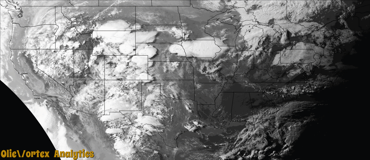
Tornado Reports
Sort by Time Sort by Rating Sort by State Sort by County| Time | Rating | Radar | State | County | Location | Narrative |
|---|---|---|---|---|---|---|
| 23:43Z | EF2 | KCYS | WY | Albany | Howell | A satellite tornado formed two miles to the south of the parent tornado. The tornado damaged treetops and caused significant structural damage to a well-built attached garage, which collapsed as it lifted off the foundation and shifted to the east. In addition, several nearby structures had minor damage to siding and shingles as the tornado was observed moving through the Antelope Ridge Loop subdivision, six miles north of Laramie, and into open country. |
| 23:43Z | EF3 | KCYS | WY | Albany | Wyoming | An isolated supercell thunderstorm developed a tornado three to four miles west of Highway 30. The tornado continued an eastward track and intensified rapidly over the mainly open fields. Numerous wooden power poles were snapped along County Road 121, along with several galvanized steel utility poles, which were bent 90 degrees at the base. Grass was scoured out of the ground in a wide swath approximately one third of a mile in width near the intersection of County Road 121 and Cattle drive. The observed tornado continued east into the Laramie Range near King Mountain Road. |
| 01:24Z | EF0 | KGLD | NE | Perkins | Grant | Tornado briefly touched down in a field 5 miles northwest of Grant Nebraska. No damage was reported. |
Storm reports are derived from "The Storm Events Database" (National Centers for Environmental Information) and/or "Past Storm Reports" (Storm Prediction Center).