Tornado Reports
Sort by Time Sort by Rating Sort by State Sort by County| Time | Rating | Radar | State | County | Location | Narrative |
|---|---|---|---|---|---|---|
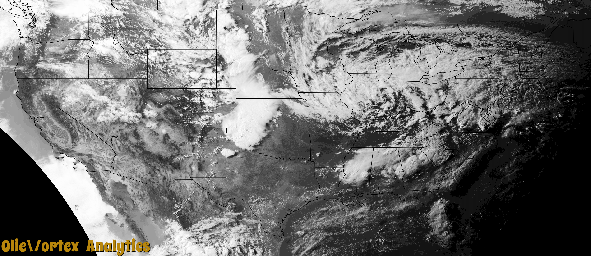
| 22:51Z | EF0 | KIWX | OH | Van Wert | Van Wert Circle S Ar | The tornado began in a cornfield just to the southeast|of the intersection of Mendon and Wren-Landeck Roads. Some shingle |damage and a few downed large branches were noted at a residence along |the path of the tornado as it tracked northwest. The tornado |continued into another cornfield before dissipating in a tree line. |Damage to a single tree was noted in the front of this tree line at |the end of the tornado path. Maximum wind speeds were likely in the 60 to 65 mph range. |
| 22:53Z | EF0 | KPUX | NM | Union | Mt Dora | A brief tornado was reported along Campbell Road northwest of Clayton. No damage occurred. |
| 23:25Z | EF0 | KHTX | AL | Jackson | Higdon | The tornado touched down just west of AL Highway 71, about 1 mile northeast of Higdon, AL where a tree was snapped off at the top along with other very large branches broken off on the property. It then tracked east and on County Road 292 it uprooted a large tree that fell on a truck and a house. Another small uprooted tree was noted in the area as well. The tornado continued east and as it crossed County Road 269 a small clearing in the trees was noted along with a large tree split at the base. The tornado then continued into far northeast DeKalb County. |
| 23:27Z | EF1 | KHTX | AL | Dekalb | Ider | After the tornado crossed from Jackson into DeKalb County, a house on County Road 169 had the most damage with three very healthy trees completely snapped off at the exact same height with estimated winds of 990 mph. Other trees on the property were snapped near the base and multiple very large limbs were knocked down. This is where the tornado was at its widest with other snapped trees noted along County Road 169. The last of the damage was found on County Road 817 with a metal roof from a house peeled off and thrown behind the house. A snapped tree was observed as well. |
| 23:46Z | EF0 | KBMX | AL | Winston | Inmanfield | National Weather Service meteorologists surveyed damage in extreme |northeastern Winston County and determined that it was consistent |with an EF0 tornado. The tornado began in a wooded area just east |of the County Road 80 bridge over Rock Creek. The tornado crossed |County 80 where a tree was uprooted. County Road 80 criss-crossed |the tornado's path a couple times as it moved eastward. Sporadic |tree damage occurred with several large branches broken and a few |trees uprooted or snapped. The roof was removed from a newer large |shed, and tin was peeled back from a couple of old barns. The tornado |crossed into Cullman County just south of County Road 1063. |
| 23:50Z | EF2 | KBMX | AL | Cullman | Jones Chapel | As the tornado crossed from Winston into Cullman County, the tornado likely lifted shortly after crossing CR 1069 and producing minor limb damage. The tornado likely touched down again west of the CR 1055 and CR 1082 intersection. Extensive tree damage was observed. Numerous trees were either uprooted or snapped as the tornado tracked through a depression on the north side of CR 1055. Intensity was documented as 90 mph (EF-1) as it approached CR 1082. At this point, the tornado likely lifted again as it moved east of CR 1082 with only minor limb damage observed through Sullivan Creek.||Peak intensity of the tornado was observed along CR 1091, west of CR 1114. A one year old manufactured home was completely destroyed as it broke away from its anchors, causing 3 injuries. The home was perpendicular to the winds, facing due west. It was displaced about 20 yards from its original location. Three of four corner anchor units were ripped from the ground. The fourth remained lodged in ground but the metal strap was ripped from the I-Beam. It is worth noting that the anchors were approximately 2-3 feet into the ground, and were strapped to the I-Beam (from what could be observed). However, given the highly saturated, muddy soil, the anchors were pulled out as the home tipped backwards. Given this potential failure, winds were estimated at 130 mph (EF-2), or slightly above the expected value for a completely destroyed manufactured home. Additionally, near this location, several trees were uprooted. Peak width of approximately 180 yards were also documented in this area.||As the tornado tracked east, another area of downed branches and uprooted trees were noted east of CR 1107. This was the final location of observed damage as the tornado likely lifted and eventually dissipated along CR 1114. |
| 00:06Z | EF0 | KHTX | GA | Walker | Lake Howard | The National Weather Service in conjunction with the Walker County Emergency Manager, and with the aid of video provided by the public, determined that a brief EF0 tornado with maximum wind speeds of 80 mph and a maximum path width of 150 yards, travelled 1.3 miles across a portion of eastern Walker County, north of the city of Lafayette. The tornado touched down near the intersection of Wheeler Road and Warren Road, just east of Highway 27, snapping a few trees. The tornado traveled southeast toward Lake Howard Road, producing several areas of damage between Ringgold Road and Lucas Lane, including two small barns that sustained significant damage and several larger trees either uprooted or snapped. A section of roof shingles was pulled up from a two-story home. No injuries were reported. [06/22/18: Tornado #1, County #1/1, EF-0, Walker, 2018:009]. |
| 00:17Z | EF0 | KDDC | OK | Beaver | Balko | Trained spotter reported very brief touchdown with no damage. |
| 03:21Z | EF0 | KAMA | TX | Wheeler | Wheeler | This brief tornado began at 1021 PM CDT 2 miles northwest of Wheeler, Texas and ended at 1022 PM CDT approximately 1 mile northwest of Wheeler, Texas. The tornado had a path length of about 0.6 miles, and a path width of 50 yards. This tornado was rated EF-0 with an estimated peak wind speed of 80 to 85 mph. EF-0 damage occurred to trees, barns, and 5 homes. One manufactured home was completely destroyed. The other homes had roof damage. |
Storm reports are derived from "The Storm Events Database" (National Centers for Environmental Information) and/or "Past Storm Reports" (Storm Prediction Center).