Tornado Reports
Sort by Time Sort by Rating Sort by State Sort by County| Time | Rating | Radar | State | County | Location | Narrative |
|---|---|---|---|---|---|---|
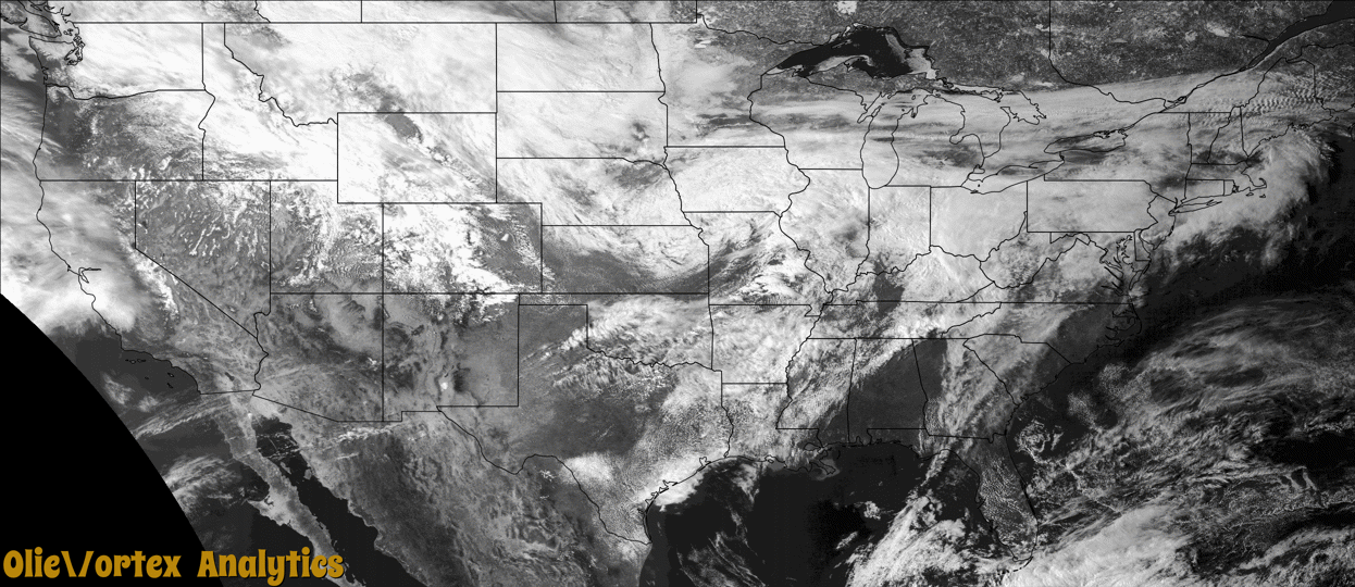
| 21:31Z | EF0 | KLSX | MO | Crawford | Butts | The tornado began on the south side of the Huzzah River approximately 8 miles east northeast of Steelville where a barn was damaged. The tornado then tracked generally eastward hitting a farmstead at the end of Mullen Road. Most of the damage consisted of downed trees and broken branches. Several outbuildings and two small grain bins were destroyed, along with superficial damage to two homes. The remainder of damage consisted of downed trees and branches as the tornado tracked eastward through the northern edge of Butts, just missing a large outdoor outfitter and recreational area on the Courtois Creek. The tornado ended within a valley east of the intersection of Thunder Valley Road and Christy Mine Road, less than one mile from the Crawford/Washington County line. The tornado was rated EF0 with estimated peak winds of 85 mph. The path length was 5.75 miles with a max path width of 100 yards. No deaths or injuries were reported with this tornado. |
| 22:22Z | EF0 | KLSX | MO | Washington | Cadet | A few branches were broken off in this location where law enforcement witnessed a|brief tornado touchdown just southwest of the intersection of Highway E and Route 47. The tornado was rated EF0 with a max wind speed of 65 mph. The path length was 0.01 mile with a max path width of 20 yards. No deaths or injuries were reported. |
| 00:31Z | EF1 | KLSX | MO | Madison | Marquand | A tornado touched down a little over 3 miles west southwest of Marquand, MO, near the intersection of Madison 310 and County Road 311. In this location, several large trees were snapped off, a tv tower antenna was bent, and a portion of the roof of an old barn was blown off. The damage width in this area was about 125 yards wide and rated EF1. The tornado tracked to the northeast, crossing Highway M. As the tornado crossed Highway DD, just south of intersection with Madison 314, hundreds of trees were either snapped off or uprooted. Also, tin from a carport was thrown several hundred yards from where it originated. Damage path width in this location was about 250 yards wide and rated EF1. The tornado continued to the east northeast, with sporadic tree damage, for about another 1.5 miles before lifting and dissipating. Overall the tornado was rated EF1 with a max wind speed of 110 mph. The path length was 4.24 miles with a max path width of 250 yards. No deaths or injuries were reported. |
| 01:47Z | EF2 | KPAH | MO | Bollinger | Grisham | A National Weather Service damage survey revealed damage from an EF-2 tornado that started along County Road 844, only about a mile from the Madison County line. This tornado was spawned by the same supercell that produced a tornado inside Madison County. Due to the densely forested terrain, it could not be determined whether the Madison County track was connected to the Bollinger County track. The Bollinger County tornado formed along the headwaters of Crooked Creek in extreme western Bollinger County. The tornado then moved east across Highway 51. Several small sheds were moved or damaged along the path. Numerous trees were uprooted or snapped along the path as well. A man received minor scratches on his back when the tornado demolished his single-wide mobile home on County Road 344. The mobile home was tied down, but winds rolled the mobile home frame about 25 yards. The frame of the mobile home was twisted. The tornado attained its maximum EF-2 intensity rating at the site of the mobile home. Where the tornado crossed Highway 51, two small outbuildings were moved about 20 feet, and metal was peeled off the roof of a barn. The tornado ended along County Road 342 about eight miles north-northeast of Marble Hill. Peak winds were estimated near 120 mph where the mobile home was destroyed. |
Storm reports are derived from "The Storm Events Database" (National Centers for Environmental Information) and/or "Past Storm Reports" (Storm Prediction Center).