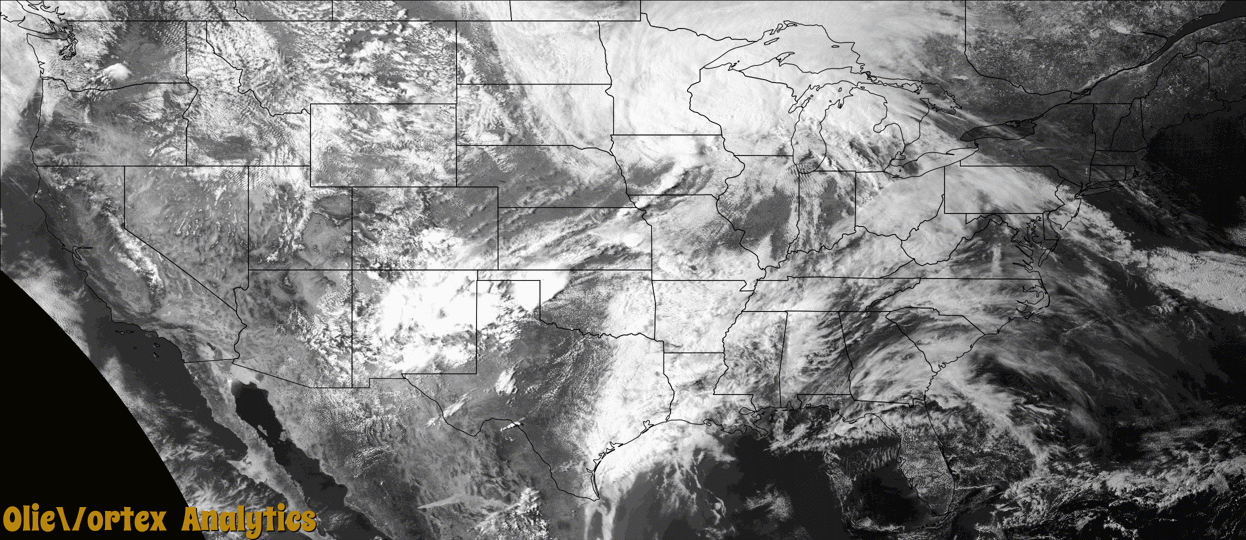
Tornado Reports
Sort by Time Sort by Rating Sort by State Sort by County| Time | Rating | Radar | State | County | Location | Narrative |
|---|---|---|---|---|---|---|
| 20:39Z | EFU | KAMA | TX | Hemphill | Glazier | Channel 9 OKC live broadcast of a tornado touchdown. NWS survey information suggests the tornado touchdown first occurred about 3 miles southwest of Glazier at 0339 pm and lifted around 0354 pm approximately 5 miles north northeast of Canadian. The tornado was rated EF-Unknown since no damage was observed. The tornado track and times were based on several reports and radar data. |
| 20:54Z | EF0 | KAMA | TX | Hemphill | Glazier | Multiple sources reported a tornado touchdown. NWS survey information suggests the tornado touchdown began at 0354 PM 2 miles northeast of Glazier in Hemphill County and lifted at 0421 PM approximately 6 miles northeast of Glazier in Lipscomb County. A few trees were damaged along highway 60 southwest of Coburn, and some large tree limbs were snapped. The tornado was rated EF-0 with an estimated peak wind speed of 75 MPH. |
| 21:09Z | EF0 | KDDC | TX | Lipscomb | Higgins | Multiple sources reported a tornado touchdown. NWS survey information suggests the tornado touchdown began at 0354 PM 2 miles northeast of Glazier in Hemphill County and lifted at 0421 PM approximately 6 miles northeast of Glazier in Lipscomb County. A few trees were damaged along highway 60 southwest of Coburn, and some large tree limbs were snapped. The tornado was rated EF-0 with an estimated peak wind speed of 75 MPH. |
| 21:29Z | EFU | KDDC | TX | Lipscomb | Higgins | Broadcast media and multiple spotters reported a new tornado touchdown near Higgins, TX. NWS survey information suggests the tornado touchdown first occurred about 4 miles southwest of Higgins at 0429 PM and lifted at 0432 PM approximately 4 miles southwest of Higgins. The tornado was rated EF-Unknown since no damage was observed. The tornado track and times were based on spotter reports and radar data. |
| 21:47Z | EF1 | KDDC | OK | Ellis | Shattuck | This tornado was observed by many spotters and chasers, and was one of two tornadoes observed north and northwest of Shattuck. This tornado touched down about 4.5 miles northwest of Shattuck and moved northwest. Two mobile homes were damaged, including one that suffered significant loss of roof. This tornado also damaged trees and an outbuilding. |
| 21:49Z | EF0 | KDDC | OK | Ellis | Shattuck | A second tornado touched down north of Shattuck and was one of two simultaneous tornadoes observed for a time. The tornado produced only some minor tree damage near US-283 and E45 Road. |
| 22:05Z | EFU | KAMA | TX | Carson | Pantex | Landspout reported by broadcast media and Rick Husband International Airport. Landspout lifted 2 miles east of airport. |
| 23:38Z | EFU | KICT | KS | Sumner | Wellington Arpt | A very weak landspout from a non-supercell storm touched down and lingered for 4 minutes over open country. |
| 00:50Z | EFU | KTWX | KS | Greenwood | Eureka Arpt | Very brief and weak landspout from a non-rotating supercell touched down in open country. It lasted less than one minute and shorter than one quarter mile. |
| 05:50Z | EF0 | KSGF | MO | Dade | Lockwood | A National Weather Service storm survey found EF 0 tornado damage west and southwest of Lockwood with winds estimated at 75 mph along a 1.97 mile path. The tornado was on the ground for two minutes. Damage occurred to trees, outbuildings and a center pivot irrigation system. |
| 06:00Z | EF0 | KSGF | MO | Dade | Greenfield | A National Weather Service storm survey found EF 0 damage with winds estimated at 65 mph along a 1.04 mile path north of Greenfield. Tree damage and debris splattered on all sides of a structure were found. Only very minor damage to structures was found. Multiple outdoor objects were also displaced upwind into fencing. |
Storm reports are derived from "The Storm Events Database" (National Centers for Environmental Information) and/or "Past Storm Reports" (Storm Prediction Center).