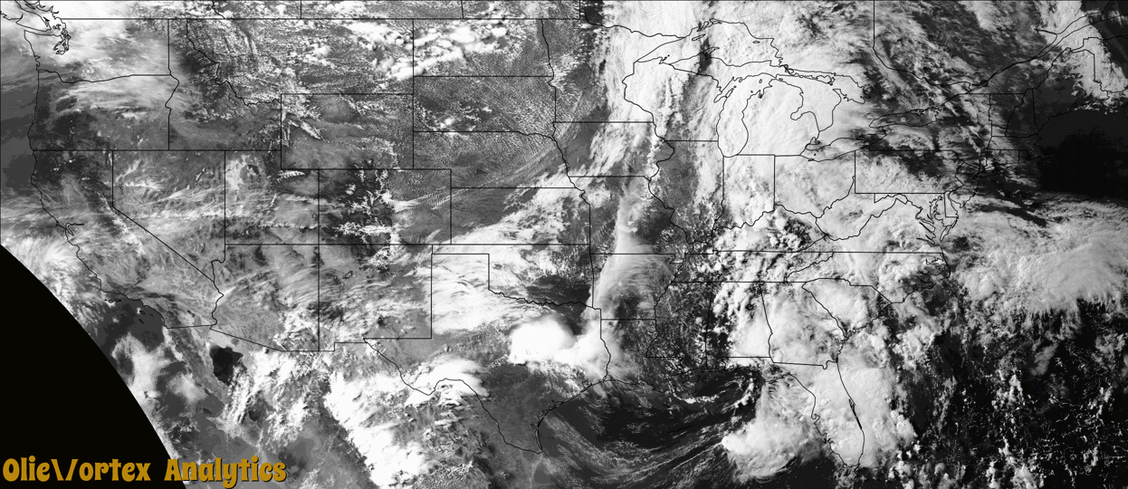
Tornado Reports
Sort by Time Sort by Rating Sort by State Sort by County| Time | Rating | Radar | State | County | Location | Narrative |
|---|---|---|---|---|---|---|
| 20:53Z | EFU | KDVN | IA | Buchanan | Buffalo Creek Co Park | A weak landspout tornado moved through rural areas southwest of Manchester, IA. Evidence for the tornado is through photo and video, but no damage was observed along its path to assign a rating. This tornado ended in western Delaware County. |
| 21:04Z | EFU | KDVN | IA | Delaware | Masonville | A weak landspout tornado moved through rural areas southwest of Manchester, IA. Evidence for the tornado is through photo and video, but no damage was observed along its path to assign a rating. This tornado began in eastern Buchanan County. |
| 21:24Z | EFU | KDVN | IA | Linn | Central City | A weak landspout tornado moved through rural areas northeast and east of Central City, IA. Evidence for the tornado is through photo and video, but no damage was observed along its path to assign a rating. |
| 22:14Z | EFU | KDVN | IA | Jones | Fairview | A weak landspout tornado moved through rural areas south of Anamosa, IA. Evidence for the tornado is through photos from emergency management, with no damage observed along its path to assign a rating. |
| 22:24Z | EF2 | KGRK | TX | Coryell | Copperas Cove | An isolated supercell thunderstorm produced an EF-2 tornado near the border separating extreme southern Coryell County from extreme eastern Lampasas County, Texas. Officials reported that approximately 196 residences in the City of Copperas Cove were impacted to varying degrees. This tornado formed near the intersection of Grimes Crossing Road and Big Divide Road in far western Copperas Cove. At this intersection, two frame-built residences were initially impacted. Both residences had significant roof and exterior wall damage, and one home had the majority of its roof decking completely removed. The damage associated with this latter structure was consistent with EF-2 intensity tornado damage, with peak winds of approximately 115 mph. The other heavily impacted residence had damage consistent with EF-1 intensity tornadic winds, with peak winds of 100-105 mph. ||The tornado tracked south-southeastward, producing significant shingle, tree and ancillary structural damage to numerous residences in the neighborhoods straddling Big Divide Road. Most of this damage was due to EF-0 intensity winds, but several homes along the remainder of the path had portions of their wooden roof decking or sheet metal roof cladding removed. Several large trees were also uprooted along the path. These damage indicators were consistent with EF-1 intensity damage. In the latter stages of its life cycle, the tornado's width contracted to around 100 yards and wind intensities diminished. The tornado ultimately moved up a wooded hillside and dissipated near the intersection of Veterans Avenue and Stewart Street. |
| 23:34Z | EF0 | KGRK | TX | Williamson | Liberty Hill | A small tornado touched down near County Road 287 southwest of Liberty Hill. Numerous trees were damaged in the three quarters of a mile path. Winds are estimated to have been near 75 mph. |
Storm reports are derived from "The Storm Events Database" (National Centers for Environmental Information) and/or "Past Storm Reports" (Storm Prediction Center).