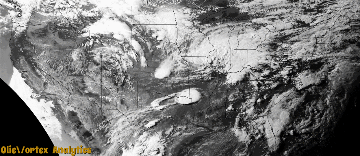
Tornado Reports
Sort by Time Sort by Rating Sort by State Sort by County| Time | Rating | Radar | State | County | Location | Narrative |
|---|---|---|---|---|---|---|
| 16:45Z | EF0 | KLCH | LA | Jefferson Davis | Hathaway | Multiple pictures of a narrow landspout were received through social media. Reports indicated that the brief tornado occurred in a field south of Hathaway and no damage resulted. |
| 23:10Z | EF0 | KHPX | TN | Montgomery | Mc Allisters Xrds | A NWS storm survey determined an EF0 tornado touched down in far southern Montgomery County along Ryes Chapel Road and moved northeast along Charlie Road before lifting east of Watkins Ford Road. A few trees and a carport were blown down, and some homes suffered minor roof damage. Video of the tornado was shared on social media. |
| 23:24Z | EF1 | KSRX | OK | Mccurtain | Haworth | An EF-1 tornado with maximum estimated winds near 90 mph touched down in Downtown Haworth. This tornado touched down on the west side of town near Choctaw Avenue and lifted just east of Elm Street along East 4th Street near the center of town. Most of the damage was to trees, but one uprooted tree fell on a home on West Arkansas Avenue and caused significant roof damage. |
| 23:40Z | EF0 | KILX | IL | Christian | Moweaqua | A tornado briefly touched down about 2 miles west of Moweaqua. It damaged crops before dissipating in less than one minute. |
| 00:22Z | EF0 | KILX | IL | Moultrie | Dunn | A tornado briefly touched down in an open field about 2.3 miles east of Bethany at 7:22PM CDT. Crops sustained minor damage before the tornado dissipated. |
| 00:22Z | EF0 | KVWX | IL | Marion | Cartter | Several storm chasers took video of a short-lived and weak tornado that lasted an estimated 10-15 seconds. The tornado appeared to be over an open field as no damage was found or observed in the video. Tornado location was estimated based on reports and radar. The tornado was rated EF0 with a path length of 0.08 miles and a max path width of 25 yards. No deaths or injuries were reported. |
| 00:56Z | EF1 | KRIW | WY | Johnson | Buffalo | An EF1 tornado touched down in the Big Horn Mountains near Powder River Pass and traveled east. Please see event summary for details. |
| 01:50Z | EF0 | KCYS | WY | Converse | Bill | Wyoming State Highway Patrol reported tornado on the outskirts of Bill with corresponding video confirmation of a visible condensation funnel east of the hotel in town. A later report via social media presented photographic evidence of tornadic damage to a manufactured home east-southeast of Bill with a corner of the roof peeled off consistent with EF-0 damage. |
| 03:47Z | EF2 | KSHV | LA | Bossier | Alden Bridge | An EF-2 tornado with maximum estimated winds near 130 mph was embedded in a line of severe thunderstorms, and touched down across a forested area northeast of Benton near Butler Hill Road. Based off of drone video, the tornado downed at least a couple hundred trees before it ripped most of the roof off of a two-story single family home, leaving only a small portion of the roof on the second story and the brick exterior walls on the first story standing. This was the worst damage from the tornado, resulting in a high end EF-2 rating. As the tornado continued on to cross Butler Hill Road, it downed and uprooted another couple hundred trees, with several falling on two separate single family homes. The tornado also damaged the roof of an outbuilding before moving on to uproot and snap several additional hardwood and softwood trees. ||This was the strongest tornado to occur between the months of June and September in Bossier Parish. This was only the second tornado to ever occur in the month of June in Bossier Parish, with an F-1 tornado recorded in 1992. |
| 08:14Z | EF1 | KPOE | LA | Rapides | Ball | A tornado touched down south of Ball Road and just east of McRay Drive. The tornado moved southeast, snapping and uprooting numerous softwood and hardwood trees. The most extensive damage was from southern Ball Loop Drive to Leah Street where several houses and vehicles were damaged by uprooted trees. The tornado dissipated east of Leah Street. While the tornado was only 100 yards wide, downdraft winds wrapping around the tornado resulted in additional trees snapped or downed and damage to buildings across portions of Ball. |
| 08:30Z | EF1 | KPOE | LA | Rapides | Buckeye | An EF-1 tornado touched down between East O'Neill Road and Highway 115. The tornado snapped and uprooted numerous trees as it moved southeast, crossing Highway 115 and Paul Road. Several of the fallen trees caused property damage. After crossing Paul Road, the tornado turned and tracked eastward between Paul Road and Donnie Price Road before dissipating. Maximum estimated winds were 105 mph. |
Storm reports are derived from "The Storm Events Database" (National Centers for Environmental Information) and/or "Past Storm Reports" (Storm Prediction Center).