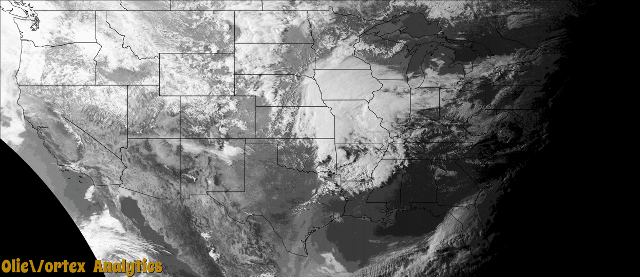
Tornado Reports
Sort by Time Sort by Rating Sort by State Sort by County| Time | Rating | Radar | State | County | Location | Narrative |
|---|---|---|---|---|---|---|
| 19:08Z | EF0 | KEAX | MO | Saline | Norton | A landspout formed near Malta Bend. After the office received a couple reports of a funnel cloud underneath new convection some photos were sent to the office via Twitter of a broad dust swirl that extended upward to the cloud base. No damage occurred as a result of this weak and brief landspout. |
| 23:40Z | EF2 | KFWS | TX | Fannin | Sawells Bluff | A tornado began to the west of Ivanhoe along CR 1120. Minor house damage and notable tree damage was observed. The tornado was tracked by tree damage across SH 78. The tornado did additional damage to homes, structures and trees between SH 78 and FM 273. The tornado intensified as it approached FM 273 in Ivanhoe. To the east of the road, a brick home lost its roof, and a double wide was rolled and destroyed. This is where the one injury occurred. Farther east of this location, along CR 2210, another home sustained roof damage and damage to a large metal shop. From this point, the tornado tracked in mostly open land, but could be tracked in the trees before dissipating just west of CR 2275. This tornado was rated an EF-2 because of the damage to the trees and homes in the Ivanhoe area. Maximum winds were around 120 mph. |
| 00:08Z | EFU | KFWS | TX | Fannin | Selfs | Spotter and chaser video showed a tornado in this area, and the location was estimated by RADAR. Damage was neither reported nor found in a ground survey, therefore the tornado was rated EF-Unknown. |
| 00:13Z | EFU | KFWS | TX | Fannin | Selfs | Spotter and chaser video indicated a tornado in this area, and the location was estimated by RADAR. Damage was neither reported nor found by a ground survey, therefore the tornado was rated EF-Unknown. |
| 02:09Z | EF1 | KSRX | AR | Franklin | Barnes | This tornado uprooted trees and snapped large tree limbs. Based on this damage, maximum estimated wind in the tornado was 90 to 100 mph. |
Storm reports are derived from "The Storm Events Database" (National Centers for Environmental Information) and/or "Past Storm Reports" (Storm Prediction Center).