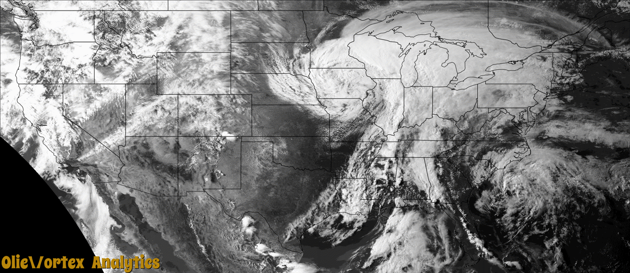
Tornado Reports
Sort by Time Sort by Rating Sort by State Sort by County| Time | Rating | Radar | State | County | Location | Narrative |
|---|---|---|---|---|---|---|
| 20:15Z | EFU | KLOT | IL | Kendall | Millbrook | A brief tornado touched down in northwest Kendall County. No damage was reported. |
| 21:06Z | EF0 | KILX | IL | Macon | Macon | A tornado touched down in an open field 1.2 miles north-northeast of Macon at 4:06 PM CDT. It tracked northeastward and dissipated about 1.1 miles east-northeast of Elwin at 4:14 PM CDT. Minor damage to trees was reported. |
| 22:26Z | EFU | KLOT | IL | Grundy | Pequot | A brief tornado touched down in eastern Grundy County. No damage was reported. |
| 22:41Z | EF1 | KPOE | LA | Allen | Ward | A small tornado touched down near US Hwy 165, a little south of the airport. It moved along parts of Ward Rd. Several trees were snapped or uprooted along the path. |
| 23:01Z | EF0 | KLCH | LA | Cameron | Holly Beach | The tornado occurred in the Sabine Wildlife Refuge and affected only marsh. |
| 23:40Z | EF0 | KLCH | LA | Calcasieu | De Quincy | Pictures and video of a tornado were received from Calcasieu Parish PD. The tornado remained in wooded areas. |
| 01:00Z | EF0 | KPOE | LA | Evangeline | Mamou | Multiple videos were received from social media of a tornado near Mamou. The brief tornado remain in swamp. |
| 01:31Z | EF3 | KPOE | LA | Acadia | Richard | An EF-3 tornado was documented in parts of Acadia and St. Landry Parishes. It began near Gobert Rd and Pitreville Hwy, and crossed Grand Marais Rd, Prudence Hwy, St. Margaret Rd, Lawtell Hwy, and N Beaugh St. One home was picked up off its pilings and thrown 50 yards to its south, destroying the home. Three people were inside. One person was killed, and the other two people are hospitalized with significant injuries. Nearby, 4 mobile homes were destroyed. Two were flipped in the air and seperated from the frame, another one rolled over on top of an SUV, and the fourth was|pulled off its blocks and had significant structural damage. Two grain dryers were destroyed at a farm, and an 18 wheeler used to transport crops was picked up and flipped onto the road. The tornado ended on the city limits of Church Point|where a large tree fell on a home. The max estimated wind speed was 150 mph. |
Storm reports are derived from "The Storm Events Database" (National Centers for Environmental Information) and/or "Past Storm Reports" (Storm Prediction Center).