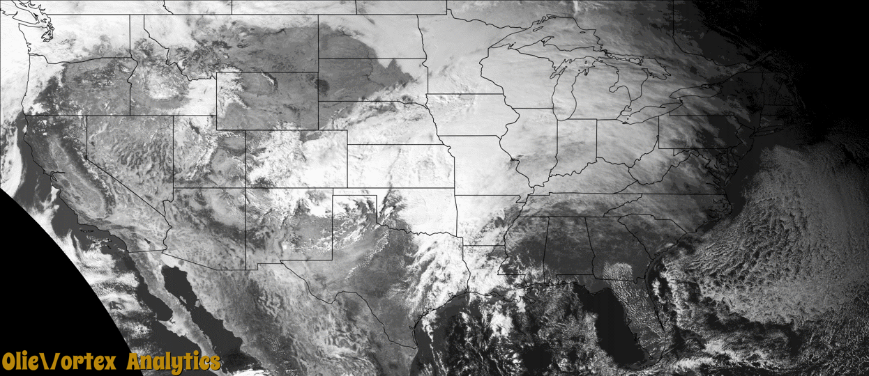
Tornado Reports
Sort by Time Sort by Rating Sort by State Sort by County| Time | Rating | Radar | State | County | Location | Narrative |
|---|---|---|---|---|---|---|
| 02:51Z | EF2 | KFWS | TX | Tarrant | Johnsons Station | An EF-2 tornado moved through Arlington producing mostly EF-0 and EF-1 damage, but a small area of EF-2 damage was found. The tornado began near West Mayfield Road and South Bowen Road where fence, shed and tree damage was found. The tornado traveled northeast from this location causing minor tree damage. Significant roof damage to several structures was noted along Colorado Lane. The tornado then crossed South Cooper Street and damaged a Burger Box fast food restaurant, Safelite AutoGlass store, and several warehouses in the area. The tornado damage in his location and along Colorado Lane was at EF-1 intensity. The tornado continued along an east-northeast track where it soon impacted the Waterdance and Mirage Apartments. Considerable roof damage was noted at these complexes, but the most significant damage occurred at the Waterdance Apartment complex. Large sections of the roof were ripped off of two buildings, resulting in an EF-2 rating at this location. From the apartment complex, the tornado weakened and traveled northeast for a few more miles before dissipating near East Park Row Drive and Carter Drive. Sporadic tree, siding, fence, and shingle damage was noted to the end of the path. The maximum winds with this tornado were around 115 mph. Five people were injured in this tornado, but none of the injuries were life threatening. |
| 02:54Z | EF1 | KSRX | OK | Haskell | Lewisville | This tornado destroyed a mobile home, snapped wooden utility poles, damaged the roofs of a couple homes, and snapped large tree limbs as it moved northeast. Based on this damage, maximum estimated wind in the tornado was 95 to 105 mph. |
| 03:50Z | EF1 | KSRX | OK | Le Flore | Oak Lodge | This tornado developed in the Arkansas River bottoms northeast of Spiro, where trees were uprooted. The tornado moved east-northeast, uprooting several more trees and damaging a barn before dissipating. It produced a radar detected tornadic debris signature from the KSRX WSR-88D. Based on this damage, maximum estimated wind in the tornado was 90 to 100 mph. |
| 07:51Z | EF1 | KSHV | TX | Panola | Deadwood | A brief EF-1 tornado with estimated maximum winds near 100 mph touched down near County Road 446 and traveled northeast for approximately a third of a mile before crossing FM 31 South near a residence. This tornado likely continued on at least a little farther downstream from this spot, but access downstream was very limited for several miles and thus the official end point of the tornado is at the crossing of FM 31 South. A few small trees were snapped at the start point of the tornado, but at FM 31 South, there were at least 10 large pine trees that were snapped or uprooted with noted signs of damage convergence. The estimated tornado path was just to the north of a residence and no real structural damage was observed. |
Storm reports are derived from "The Storm Events Database" (National Centers for Environmental Information) and/or "Past Storm Reports" (Storm Prediction Center).