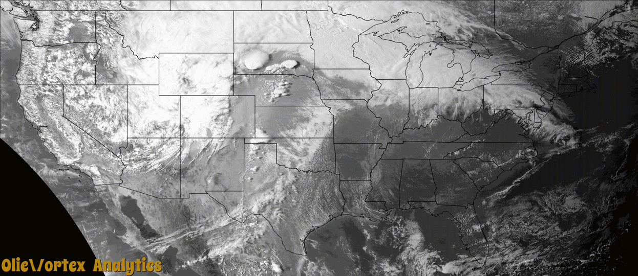
Tornado Reports
Sort by Time Sort by Rating Sort by State Sort by County| Time | Rating | Radar | State | County | Location | Narrative |
|---|---|---|---|---|---|---|
| 01:39Z | EFU | KABR | SD | Beadle | Lyonville | A tornado briefly touched down near the intersection of 203rd Street and 384th Avenue approximately 3.5 miles northwest of Wolsey, SD. The tornado remained in open fields with no known damage. |
| 04:42Z | EF1 | KGLD | KS | Wallace | Sharon Spgs | A damaging quasi-linear convective system (QLCS) tornado moved across Sharon Springs, Kansas during the late evening/overnight hours of April 22nd, 2022. Maximum winds were found to be around 110 mph, which makes this tornado an EF-1, just short of an EF-2. The worst damage was noted at the KDOT station near Highway 40 where a cinder block building was toppled and a truck shed was completely destroyed, as well as the CHS facility where the office building had its roof completely torn off. Throughout town, there were many tree limbs broken, tree trunks broken, and trees uprooted. Many buildings and vehicles had broken windows. Power poles were broken or downed throughout town. Other damage included several rolled trailers (ag-related, RVs, or work trailers), fences blown down, shingles off roofs, and other wind-related damage. |
| 05:28Z | EF0 | KGLD | KS | Logan | Page City | WSR 88D confirmed a tornado debris signature in northern Logan County that eventually crossed into southern Thomas County. In addition, a power pole was down near wear this signature started, near the intersection of county roads Day Dream and 260 just northwest of Page City, KS. This was a Quasi-Linear Convective System (QLCS) tornado. |
| 05:31Z | EF0 | KGLD | KS | Thomas | Brownville | The tornado that formed in northern Logan County, confirmed by an emergency management damage report of a power pole down and tornadic debris signature detected on NWS Goodland WSR 88D, continued into extreme southern Thomas County. No damage was reported in this very rural area. Times estimated by radar. This tornado was a Quasi-Linear Convective System (QLCS) tornado. |
| 05:32Z | EFU | KGLD | KS | Logan | Page City | NWS Goodland WSR-88D confirmed a tornado moved across extreme northern Logan County. The tornado began just southeast of Page City and proceeded north-northeast into extreme southern Thomas County. No damage was reported with this tornado. This tornado was a Quasi-Linear Convective System (QLCS) tornado. |
| 05:37Z | EFU | KGLD | KS | Thomas | Spica | NWS Goodland WSR-88D confirmed a tornado moved across extreme southern Thomas County. The tornado began just southeast of Page City in Logan County and proceeded north-northeast into Thomas County. No damage was reported with this tornado. This tornado was a Quasi-Linear Convective System (QLCS) tornado. |
| 06:20Z | EF1 | KGLD | KS | Sheridan | Selden | A quasi-linear convective system (QLCS) tornado formed in far northern Sheridan County before crossing into southern Decatur County. Damage consisted of highway signs down and/or twisted, a tree trunk was snapped, a few blown over irrigation pivots, and a railroad crossing gate was destroyed. |
| 06:26Z | EF1 | KGLD | KS | Decatur | Leoville | A quasi-linear convective system (QLCS) tornado formed in far northern Sheridan County before crossing into southern Decatur County. Damage in Decatur County was a small farm outbuilding blown over near the end of the track. Approximate end point estimated by radar. |
| 06:28Z | EF1 | KGLD | KS | Sheridan | Angelus | Upon further review and information/video gathered, it was determined that a tornado moved across extreme southern Sheridan County. This tornado was confirmed by damage from NWS Storm Survey, tornado chaser video, and a brief/weak tornadic debris signature on NWS Goodland WSR 88D radar imagery. Damage consisted of several large healthy tree limbs snapped, one treat snapped near the base, and a power pole down. Based on the damage, maximum wind speed was determined to be 100 mph. |
Storm reports are derived from "The Storm Events Database" (National Centers for Environmental Information) and/or "Past Storm Reports" (Storm Prediction Center).