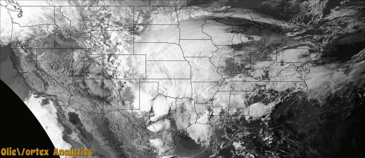
Tornado Reports
Sort by Time Sort by Rating Sort by State Sort by County| Time | Rating | Radar | State | County | Location | Narrative |
|---|---|---|---|---|---|---|
| 20:52Z | EF1 | KSRX | TX | Red River | Detroit | An EF-1 tornado with estimated maximum winds of 95 mph touched down northeast of Detroit along County Road 2127 North, where it twisted small and large limbs on a couple of trees. The tornado crossed CR 2140 and 2133, where it snapped and uprooted hardwood trees. The tornado was most evident in this location with the tall grass in a field pushed down and hardwood trees snapped in a convergent pattern. As the tornado crossed CR 2133, it just missed a single wide mobile home, only ripping a few metal panels off of its roof. The tornado continued to mostly twist and down large branches as it crossed CR 2234 and CR 2235, with a few hardwood trees snapped as it crossed CR 2235 before lifting. It is possible that the tornado continued on further beyond CR 2235, but a heavily wooded area prevented further access to the survey team. |
| 23:00Z | EF2 | KMAF | TX | Glasscock | Garden City | A thunderstorm produced a tornado near State Highway 158 in Glasscock County. This tornado crossed State Highway 158 and lasted about fifteen minutes before dissipating after crossing County Road 130. Power poles were snapped and completely blown over in the opposite direction along Highway 158. A narrow swath of power poles were snapped along County Road 110 and a lone power pole was snapped off County Road 130. Video evidence from Highway 158 shows this tornado was multi-vortex with three to four ground circulations evident. The tornado likely touched down multiple times along the path. The path length and location are estimated by radar and power pole damage locations. The path width is unknown. The cost of damage is a very rough estimate. |
| 10:11Z | EF1 | KMOB | FL | Escambia | Ferry Pass | A brief EF-1 intensity tornado appeared to first organize and touch down near or on|the property of Olive Baptist Church. The tornado moved to the northwest|and reached its peak intensity along Whitmire Dr where clear convergence|was noted. This was an area of more concentrated tree and power line damage.|An RV camper was also flipped over and a shed suffered some minor roof damage.|The tornado appeared to lift as it reached E Johnson Ave. Further to the north,|additional pockets of spotty wind damage were noted north to the 9 Mile Road|area. |
| 10:21Z | EF1 | KLCH | TX | Jefferson | Nederland | A few homes had minor roof damage, however one home had the roof destroyed. Numerous trees were downed or had large limbs broken. Fences were also down in the area. |
Storm reports are derived from "The Storm Events Database" (National Centers for Environmental Information) and/or "Past Storm Reports" (Storm Prediction Center).