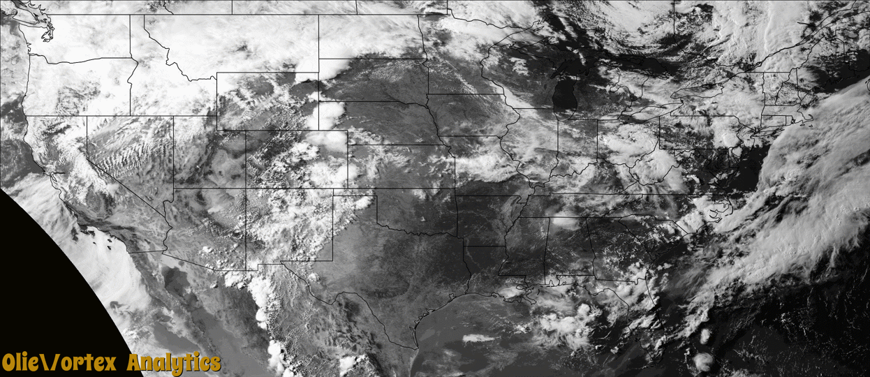
Tornado Reports
Sort by Time Sort by Rating Sort by State Sort by County| Time | Rating | Radar | State | County | Location | Narrative |
|---|---|---|---|---|---|---|
| 20:08Z | EFU | KFTG | CO | Denver | (den)denver Intl Arp | A landspout developed briefly in an open field but no damage was observed. |
| 20:48Z | EF1 | KMVX | MN | Marshall | Newfolden | This tornado was likely wrapped in heavy rain, hail and damaging winds as it tracked for roughly 2.5 miles to around 3 miles SSW of Middle River by 353 pm CDT. It snapped or uprooted numerous ash, poplar, and spruce trees at homesteads and groves along it's path. A total of 6 wooden power poles were snapped on north-south lines along 120th and 130th ave ne. Hail ranged in size from 1 to 2 inches in diameter. Peak winds estimated to 105 mph, with a max width of 300 yards. |
| 22:10Z | EF0 | KMVX | MN | Pennington | Erie | Tornado tracked for less than a minute through an open field. The ground based dust swirl was filmed or photographed by at least three spotters. A persistent and low wall cloud structure was tracked into the area and was above the swirl, with only a brief condensation cone apparent. First reported via social media and through broadcast media sources. Time estimated based on radar, along with photo and video records. Peak winds estimated to 70 mph, with a maximum width to 75 yards. |
| 22:35Z | EF2 | KRIW | WY | Teton | Kelly | Several months after this event, Bridger Teton National Forest staff reached out to the NWS Riverton office and shared images and helicopter footage of a distinct path of tree damage through a thickly-forested high-elevation area that coincided with a supercell path from June 12, 2022. This area of widespread tree damage was inaccessible and not viewable to the NWS damage survey team that visited the valley nearby immediately following the event.||Post-event interrogation of radar imagery from the event shows a strong rotation couplet above this damage area. After consulting with other Great Plains NWS staff with more than 20 years of tornado-damage-determining experience, this was determined to be tornado damage. The tree fall pattern and path were consistent with strong tornadic rotation. ||The EF2 designation comes from looking at the softwood damage indicator of the Enhanced Fujita Scale. Pictures show thousands of pine trees snapped at various heights, with hardly any trees remaining upright. There was some evidence of debarking in photos as well. For this reason, wind speeds were estimated to be between 128 and 131 mph, based on the upper bound for softwood trunks snapped and the expected damage for softwood debarked. ||Path length and width were determined from polar-orbiting satellite data from the summer months after the event. Notable decreases in vegetation could be seen, with a clearly defined damage path. |
| 03:15Z | EF2 | KUDX | SD | Jones | Okaton | A brief tornado touchdown ripped five large grain bins from their base. The bins were well anchored, in fact, large pieces of cement remained attached to the pins when they were pulled out. The bins were projectiled into two machine sheds and eventually carried about a half mile to the east southeast. Other debris, including a water tank and a dumpster were also tossed east. Other farm equipment was also damaged, including a tipped trailer and displaced grain auger. Pressure change inside the machine sheds also resulted in several combine windshields to be popped out. The house and machine sheds on the property sustained very little wind damage but were built well above normal standards, rated to withstand wind speeds at thresholds of 135 mph and 120 mph respectively. |
| 03:28Z | EF2 | KLNX | SD | Jones | Okaton | The track started near 239th street, about 0.75 miles east of 264th Ave. The path was clearly noted through a shelter belt. The tornado continued another half mile where it damaged a farm. The primary residence had a quarter of the roof panels ripped off a gable style roof and multiple windows and glass doors blown out. Two outbuildings were completely destroyed. Another shed lost the entire tin roof. The debris track from the farm continued for about a quarter of a mile northeast. The resident���s pickup truck also noted damage including the back window broken and dents from flying debris. The tornado weakened, but continued roughly 3.5 miles northeast to Van Metre Rd where it damaged another farm. At this property a farmhouse had shingle damage to only half of the roof. A well-built machine shed was missing about a quarter of the roof panels. A grain cart was also flipped to the north. |
| 04:50Z | EFU | KABR | SD | Lyman | Lower Brule | A tornado was observed to be moving east-northeasterly for a short time before becoming rain-wrapped. |
Storm reports are derived from "The Storm Events Database" (National Centers for Environmental Information) and/or "Past Storm Reports" (Storm Prediction Center).