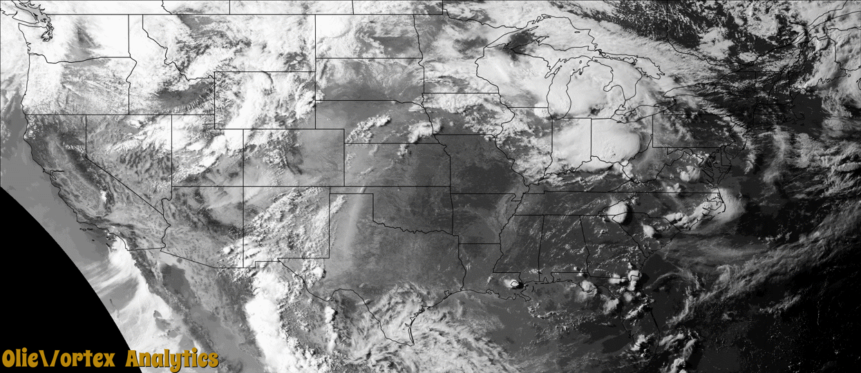
Tornado Reports
Sort by Time Sort by Rating Sort by State Sort by County| Time | Rating | Radar | State | County | Location | Narrative |
|---|---|---|---|---|---|---|
| 23:08Z | EF1 | KILN | OH | Pike | Byington | The tornado initially touched down south of the Latham area along Dry Bone Road, State Route 124, and Grassy Fork Road. A path of enhanced tree damage from west of Dry Bone Road to east of Grassy Fork Road was indicative of a weak tornado. This corridor of damage was embedded within a much larger field of wind damage that affected large swaths of Pike County in general.||The more concentrated corridor of damage had a convergent nature to the felled trees, rather defined lateral bounds, and episodes of debris thrown upwind. Most notably, a garage that was heavily damaged on Grassy Fork Road had some of its debris thrown upwind of the storm motion. Several corridors of extensive tree damage between Grassy Fork Road and State Route 124 had a clear convergent pattern in the felled trees. Damage in these areas was consistent with wind speeds of around 90 mph. The tornado likely lifted in the hills east of Grassy Fork Road but the line of storms and significant storm outflow continued to produce widespread straight line wind damage in excess of 70 mph across much of Pike County, including some localized areas possibly approaching 80 mph. |
| 23:13Z | EF0 | KLOT | IL | Cook | Streamwood | A tornado with peak winds of 75 mph touched down just southeast of the intersection of Golf and Bartlett Roads. The tornado produced only tree damage as it moved southeast through a wooded area. The tornado lifted south of Poplar Creek. |
| 23:27Z | EF0 | KLOT | IL | Cook | (o6c) Schaumburg Regional Airport | A tornado with peak winds of 80 mph touched down just west of Roselle Road and just south of Lunt Avenue. Trees were uprooted near Roselle Road just after the tornado touched down. The tornado caused roof damage to a fast food restaurant building along Roselle Road, just south of Nerge Road. Sporadic tree damage continued along the path until the tornado crossed Devon Avenue and into DuPage County. |
| 23:29Z | EF0 | KLOT | IL | Du Page | Roselle | A tornado with peak winds of 80 mph which touched down in Cook County, crossed Devon Avenue into DuPage County. The tornado produced only sporadic tree damage in DuPage County as it moved southeast. The tornado lifted between Sunnyside Road and Turner Avenue, just west of Lake Park East High School. |
| 01:50Z | EF0 | KUDX | SD | Haakon | Philip | A firefighter briefly observed a tornado, which became obscured by rain. No damage was reported. |
| 03:17Z | EF1 | KCLE | OH | Morrow | Williamsport | This tornado began along Township Road 46 in Mount Gilead and damaged multiple farm buildings. The structural damage included complete loss of a roof and compromised exterior walls. A trailer was tossed approximately 30 yards. As the tornado moved southeastward, numerous trees were uprooted or snapped. When the tornado crossed Township Road 87, numerous 2x4 planks impaled the sides and roofs of structures. The tornado dissipated as it approached the intersection of Township Roads 86 and 91. Estimated peak tornadic winds were 97 mph. |
| 03:23Z | EF1 | KCLE | OH | Morrow | Chesterville | The tornado began in Chesterville. As the tornado moved southeastward, it crossed Township Road 180 before progressing into Knox County. Numerous trees were uprooted or snapped along the tornado's path. A couple of these trees landed on buildings in Chesterville. The storm survey did not note any specific damage to the buildings. Estimated peak tornadic winds were 105 mph. |
| 03:26Z | EF1 | KCLE | OH | Knox | Fredericktown | As the tornado continued moving southeastward, trees and power poles were damaged along the tornado's path in Green Valley. A detached garage was destroyed with cinderblocks thrown about 20 yards into a nearby field. In addition, a barn was destroyed and farm equipment was displaced about 200 to 300 yards to the southeast. The tornado dissipated near Cochran Road, just south of Green Valley Road. Estimated peak tornadic winds were 105 mph. |
| 03:32Z | EF1 | KCLE | OH | Richland | Hastings | The tornado began at a farmstead along Possum Run Road, near the intersection with Snyder Road, and destroyed an outbuilding. As the tornado moved east-southeastward, it produced extensive tree damage before entering Ashland County. Estimated peak tornadic winds were 105 mph. |
| 03:36Z | EF1 | KCLE | OH | Ashland | Perrysville | As the tornado continued moving east-southeastward, it produced additional tree damage, especially in Mohican State Park, where the tornado dissipated before reaching OH-97. Estimated peak tornadic winds were 105 mph. |
Storm reports are derived from "The Storm Events Database" (National Centers for Environmental Information) and/or "Past Storm Reports" (Storm Prediction Center).