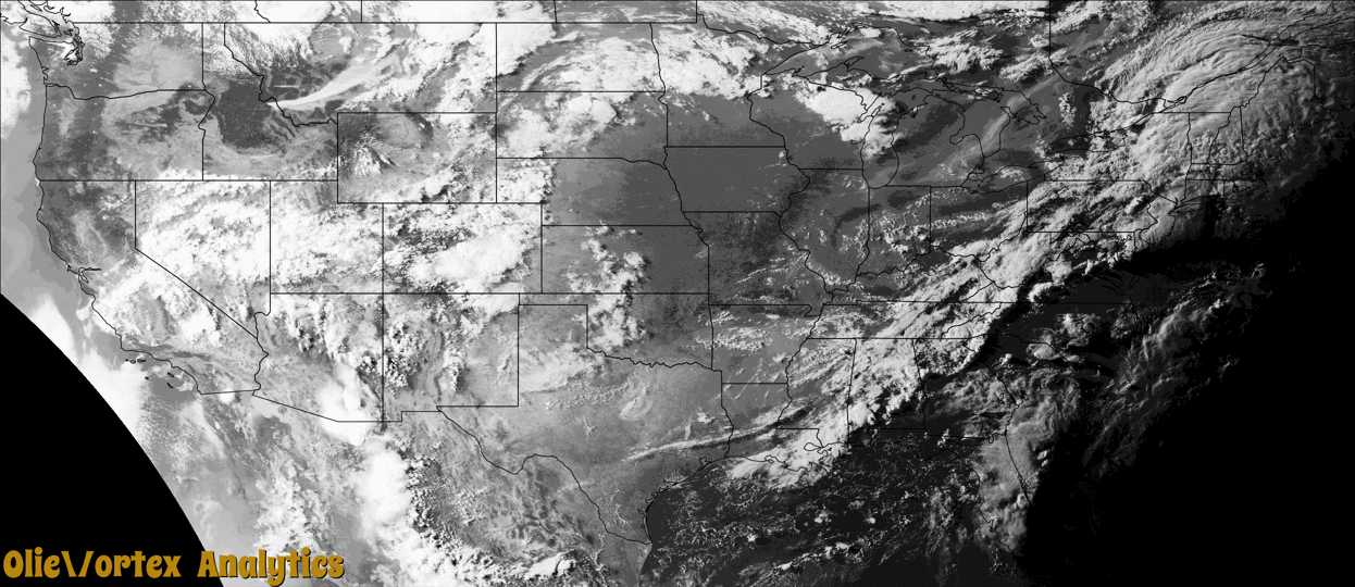
Tornado Reports
Sort by Time Sort by Rating Sort by State Sort by County| Time | Rating | Radar | State | County | Location | Narrative |
|---|---|---|---|---|---|---|
| 21:35Z | EFU | KENX | NY | Dutchess | Rhinecliff | A waterspout was sighted on the Hudson River. |
| 22:50Z | EF1 | KCXX | VT | Addison | Addison | The tornado developed over a wooded area west of Vermont Route 22A|and tracked northeast across 22A where multiple trees were snapped|or uprooted with numerous large tree limbs removed from trees. The|tornado tracked across a cemetery where a large tree fell on a|neighboring fence. From there, the tornado tracked across a property|where it uprooted a large softwood tree before entering a field and|throwing large tree limbs 50 feet. The tornado then tracked across|another property significantly damaging a metal structure and caused|it to collapse in on itself. The tornado proceeded to damage a structure|on King Hill Road before crossing VT Route 17 East where it forcibly|bent a street sign. The tornado continued into several fields where|many more trees were uprooted or snapped. |
| 22:55Z | EF0 | KCXX | VT | Addison | Vergennes | A second tornado has been confirmed by public video northeast of where|the Addison tornado occurred at 6:50 PM EDT. Video shows damage to|softwood trees. Locations are estimated from video and radar. |
| 23:47Z | EF2 | KGGW | MT | Valley | Glentana | The tornado touched down 5.5 miles southwest of Glentana at 5:47 PM MDT, moving to the northeast and directly impacting the town of Glentana at 5:53 MDT. Several blue spruce trees were uprooted, several grain hopper bins and some garages and farm machine buildings were destroyed. The roof from a house was blown off. The Glentana Hall metal roof peeled off on the south side. Multiple farm machinery equipment were damaged. Some straight line wind damage including one dozen power poles snapped, was observed 0.5 miles south of the path of the tornado on South Glentana Road. The tornado continued toward the northeast and lifted at 5:56 PM MDT, 2.4 miles northeast of Glentana. |
| 02:22Z | EF1 | KBOX | NH | Cheshire | Spofford | A very brief but damaging tornado touched down in Chesterfield, NH |Monday night as a thunderstorm moved through the area. EF-0 damage |was initially observed on Mill Pond Rd. before the tornado became |stronger and caused significant tree damage supporting EF-1 |classification just north of Mill Pond. The tornado began to lift |shortly after the EF-1 damage with sporadic EF-0 damage before |quickly ending. The tornado damaged approximately 200 trees with a |few outbuildings being destroyed on the property. Tree damage included |uprooted hardwoods and softwoods, along with snapped trees. Fortunately |no permanent residential structural damage was reported besides debris |clean up. |
Storm reports are derived from "The Storm Events Database" (National Centers for Environmental Information) and/or "Past Storm Reports" (Storm Prediction Center).