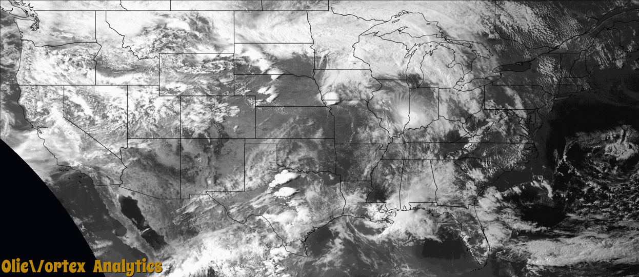
Tornado Reports
Sort by Time Sort by Rating Sort by State Sort by County| Time | Rating | Radar | State | County | Location | Narrative |
|---|---|---|---|---|---|---|
| 22:01Z | EF0 | KFSD | SD | Deuel | Goodwin | A storm spotter posted photos of a rope tornado moving through pasture south of Strandburg. |
| 22:25Z | EF0 | KFSD | SD | Grant | Labolt | A storm chaser posted photos of a rope tornado moving through pasture and an open field. The tornado may have clipped some trees as well before dissipating. |
| 22:42Z | EF0 | KFSD | MN | Renville | Minnesota Falls | Video shows a tornado moving mainly east, and then lifting north/northeast across far western Renville county. There was minor damage to an outbuilding. The tornado was rated EF0 based on the damage in the video. |
| 23:18Z | EFU | KMPX | MN | Renville | Renville | At 1818 CST storm chaser video confirmed a weak tornado developed southeast of 20699 860th Street. No injuries or damages were reported. |
| 23:20Z | EFU | KFSD | MN | Lac Qui Parle | Louisburg | A weak tornado develop north of Madison in Lac Qui Parle county. There were several images of this tornado on social media, but no reports of damage. |
| 23:31Z | EFU | KMPX | MN | Renville | Renville | At 1831 CST storm chaser video confirmed a weak tornado developed near 260th St in Renville County. This storm continued into Kandiyohi county towards the city of Prinsburg, MN. No injuries or damages were reported. |
| 23:33Z | EFU | KMPX | MN | Kandiyohi | Roseland | This segment is a continuation of the tornado that initially spun up in the Renville County and tracked into southern Kandiyohi County. At approximately 1833 CST this storm crossed the southern border of Kandiyohi County towards the town of Prinsburg, MN before lifting at 1836CST. AT 1834CST the local fire department reported this tornado in an open field southeast of Prinsburg. There were no reports of damage or fatalities with this storm. |
| 00:39Z | EF0 | KEAX | MO | Grundy | Trenton | A storm chaser in Trenton caught a brief tornado on video. This tornado did some visible damage to a local church, but that damage was mostly superficial as the brick facade crumbled off the face of the building. No injuries were reported. |
| 01:22Z | EF2 | KEAX | MO | Linn | Hecla | After creating a brief tornado in the city of Trenton the supercell went on to produce a more massive and long-lived tornado across central Linn County. No incorporated cities were directly impacted by the tornado, but several residences across the county were damaged. The most extensive residential damage occurred just north of Linneus as the storm crossed Highway 5. The tornado eventually dissipated east of Linneus before producing again as it approached Bucklin. One notable aspect of this event was the extreme rear flank downdraft, which produced some of the more extensive damage. This damage was determined to be straight line winds due to being 1-2 miles away from the main tornado circulation. |
| 01:56Z | EF1 | KEAX | MO | Linn | St Catharine | After the large tornado across central Linn County there was a brief interruption in the damage path. The next tornado formed a few miles southeast of where the larger tornado circulation became discontinuous. This tornado did some minor damage to residences and outbuildings between Linneus and Bucklin. Some of the more extensive damage occurred from rear-flank downdraft winds 1-2 miles south of the main tornado circulation. |
| 02:08Z | EF0 | KUDX | SD | Meade | Ellsworth Afb | A landspout tornado formed over rangeland northeast of Ellsworth Air Force Base. It did not cause damage. |
Storm reports are derived from "The Storm Events Database" (National Centers for Environmental Information) and/or "Past Storm Reports" (Storm Prediction Center).