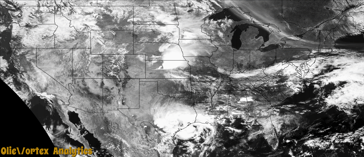
Tornado Reports
Sort by Time Sort by Rating Sort by State Sort by County| Time | Rating | Radar | State | County | Location | Narrative |
|---|---|---|---|---|---|---|
| 17:56Z | EFU | KTWX | KS | Cloud | Miltonvale | A storm chaser had photos of a small tornado that was on the ground for approximately 2 minutes just WSW of Miltonvale. No damage was noted or reported. |
| 18:24Z | EFU | KTWX | KS | Clay | Oak Hill | A storm chaser reported seeing a brief tornado touch down in open field before losing sight of it due to rain. No damage was reported in the vicinity of the sighting as it was in open pasture. The track and time is estimated based on radar and chaser report. |
| 18:42Z | EF0 | KFSD | MN | Cottonwood | Windom | A landspout quickly spun up around 2 miles northwest of Windom in an open field just north of the Windom Country Club. The weak tornado moved just east of north and crossed 405th Street, where it glanced a farmstead and caused damage to shingles on an outbuilding. The tornado continued about a half mile across open fields before turning more northerly, and crossed 395th Street before lifting less than a quarter mile farther to the north. The maximum wind speed was 65 mph and the average path width was 20 yards. |
| 22:16Z | EFU | KMAF | TX | Reeves | Saragosa | Landspout: A photo of an apparent landspout tornado near Saragosa was shared on social media. Location and time were estimated by radar. Path length and width were estimated. There was no reported damage with this landspout. |
| 23:30Z | EF0 | KMSX | MT | Lake | St Ignatius Arpt | A thunderstorm moved through the Mission Valley, near St. Ignatius and produced a tornado as confirmed by multiple public reports and social media pictures. It briefly touched down and caused some minor property damage. Metal roofing was torn off a farm outbuilding, and minor shingle damage occurred at a house. |
Storm reports are derived from "The Storm Events Database" (National Centers for Environmental Information) and/or "Past Storm Reports" (Storm Prediction Center).