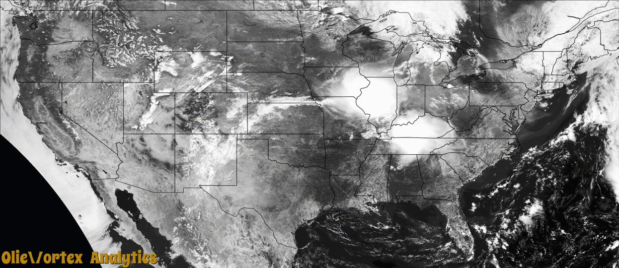
Tornado Reports
Sort by Time Sort by Rating Sort by State Sort by County| Time | Rating | Radar | State | County | Location | Narrative |
|---|---|---|---|---|---|---|
| 15:10Z | EF1 | KDVN | MO | Clark | Medill | A NWS storm survey determined an EF1 tornado, with peak winds near 90 mph, tracked for 2.4 miles from southwest of Medill to just west of Kahoka. Damage to an outbuilding occurred, along with convergent damage to numerous large trees. |
| 17:12Z | EF2 | KILX | IL | Sangamon | Curran | A tornado touched down near the intersection of Curran Road and Spaulding Orchard Road about 1 mile south of Curran at 12:12 PM CDT. It removed large sections of the roof of a home, then continued to track southeastward into the town of Chatham where it blew down numerous trees, tree branches, and power lines. The tornado also ripped approximately half the roof off a home in Chatham. It downed several large trees and tore shingles off homes in a subdivision just southeast of Chatham before crossing I-55 and dissipating about 2 miles north-northeast of Glenarm at 12:19 PM CDT. |
| 17:26Z | EF1 | KILX | IL | Logan | Lincoln | A tornado touched down in the southern part of Kickapoo Creek Park on the northwest side of Lincoln at 12:26 PM CDT. It damaged several trees in the park before tracking northeastward across the Eaton Corporation property and open fields before downing large electrical poles near I-55 exit 133. The interstate was closed in both directions for several hours while the poles were being repaired. The tornado dissipated about 2 miles south-southwest of Lawndale at 12:30 PM CDT. |
| 17:27Z | EFU | KILX | IL | Christian | Sicily | Sentinel-2 satellite imagery showed that a tornado touched down 6.2 miles northwest of Palmer about a half mile north of the intersection of North 200 East Road and East 1100 North Road at 12:27 PM CDT. The tornado tracked east-southeastward through farm fields before dissipating before reaching North 300 East Road at 12:28 PM CDT. Damage appeared limited to crops, thus no intensity could be assigned. |
| 17:29Z | EF1 | KILX | IL | Christian | Bulpitt | A tornado touched down east of Sangchris Lake State Park near the intersection of North 600 East Road and East 1800 North Road at 12:29 PM CDT. It tracked eastward, damaging numerous trees and demolishing a metal farm building near the intersection of North 800 East Road and East 1800 North Road. The tornado dissipated about 1 mile southwest of Sharpsburg at 12:32 PM CDT. |
| 17:33Z | EF1 | KILX | IL | Christian | Mt Auburn | Sentinel-2 satellite analysis showed a tornado touched down in a farm field 1.2 miles south-southwest of Mount Auburn just northeast of the intersection of North 1400 East Road and East 2700 North Road at 12:33 PM CDT. The tornado tracked southeastward, damaging numerous trees along North 1500 East Road just north of its intersection with East 2700 North Road. A car door was impaled by a piece of wooden debris as well. The tornado dissipated about 1 mile south-southeast of Mount Auburn at 12:34 PM CDT. |
| 17:35Z | EF1 | KILX | IL | Logan | Beason | A tornado touched down just north of the intersection of County Road 2250 East and County Road 2000 North in far eastern Logan County at 12:35 PM CDT. The tornado tracked eastward causing minor damage to a home along County Road 2000 North before crossing into DeWitt County at 12:37 PM CDT. |
| 17:37Z | EF1 | KILX | IL | De Witt | Waynesville | This tornado crossed from far eastern Logan County into western DeWitt County just north of the intersection of 2400th Avenue and Thorps Road at 12:37 PM CDT. It tracked eastward, collapsing a farm building near the intersection of South Road and Thorps Road before entering the town of Wapella. The tornado was at its widest at this point and caused extensive tree damage and some home damage in Wapella before dissipating 3 miles east of Wapella at 12:46 PM CDT. |
| 17:38Z | EF1 | KILX | IL | Christian | Sharpsburg | A tornado touched down near the intersection of North 1250 East Road and East 1700 North Road north of Taylorville at 12:38 PM CDT. It tracked southeastward, damaging several trees and one home before dissipating about 4 miles northwest of Assumption at 12:47 PM CDT. |
Storm reports are derived from "The Storm Events Database" (National Centers for Environmental Information) and/or "Past Storm Reports" (Storm Prediction Center).