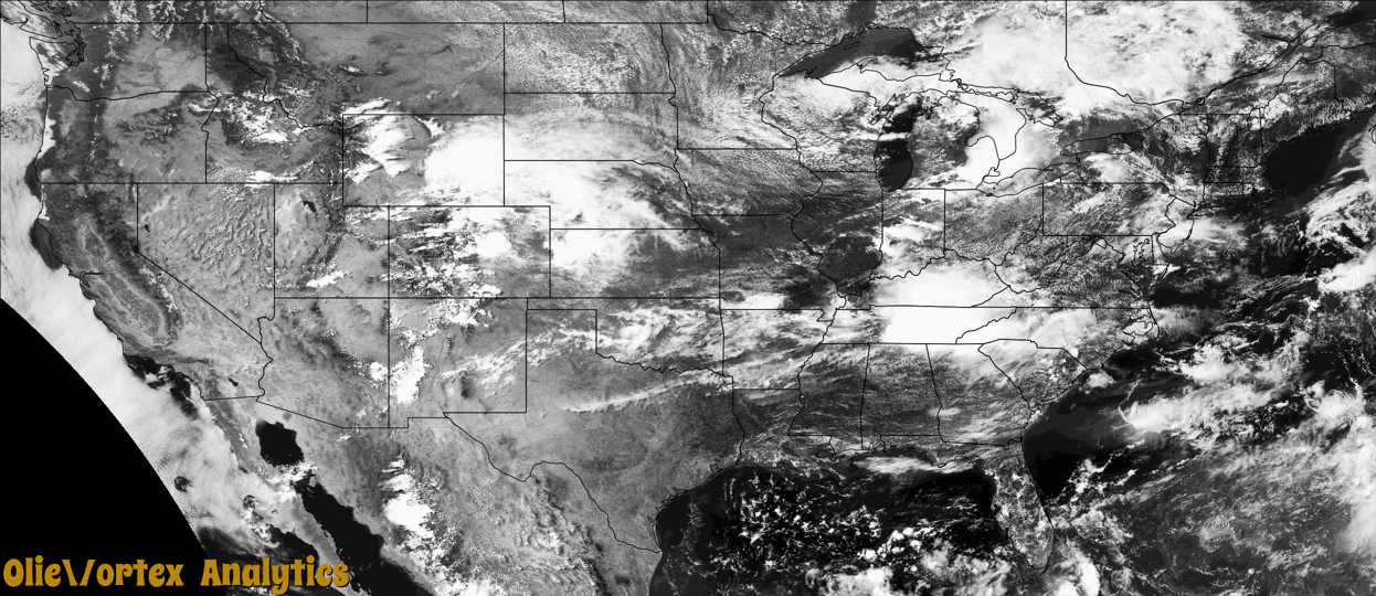
Tornado Reports
Sort by Time Sort by Rating Sort by State Sort by County| Time | Rating | Radar | State | County | Location | Narrative |
|---|---|---|---|---|---|---|
| 20:00Z | EF1 | KPUX | CO | Teller | Woodland Park | Maximum wind gust estimated was 108 mph. |
| 21:13Z | EF0 | KFFC | GA | Pickens | Scarecorn | This tornado developed withing a large scale straight line wind|event which occurred across Pickens County. Similar to the other|tornado in Pickens county, this tornado developed on the north|side of a large surge in winds as denoted both on radar and|widespread wind damage on the ground. This EF0 tornado (peak winds estimated around 80 mph) first developed in a wooded area northwest of Carver Mill Road to the|west of the intersection of Carver Mill Rd and Dean Trail. Trees|were snapped or uprooted along its path which nearly paralleled |Carver Mill Rd until it crossed Hwy 53. Trees and powerlines were |downed along Carver Mill Rd, Dean Mill Rd, Red Branch Rd, Bradley |Rd and Perrow Hwy. The tornado tracked southwest crossing Hwy 53 |near Thompson Lane where trees were snapped and uprooted. Some |minor roof damage was also noted in the area. The tornado |dissipated shortly after crossing Hwy 53. |
| 21:23Z | EF1 | KFFC | GA | Pickens | Daniels | This particular tornado developed shortly after a large scale|straight line wind event unfolded across Pickens County. It should|be noted that while the tornado did considerable damage in the |span in which it was on the ground, the large scale straight line |wind damage across Pickens county southeastward was far more |considerable. The tornado formed on the north side a surge in the |winds along Long Swamp Church road very near the Bent Tree Lodge |and Vineyard and Angel on Horseback pavilion. Several trees were |snapped and uprooted in this area. The tornado continued eastward |through a wooded area crossing Dank road behind several homes on |the north side of Fitts Road. The tornado reached maximum |intensity as it crossed Fitts and Dank Roads where numerous trees |were snapped and uprooted, 1 home lost its roof, another home |sustained major roof damage and an outbuilding was destroyed. The |tornado continued southeast snapping and uprooting trees before |dissipating as it reached Skyline Drive. Peak winds were estimated around 95 mph (EF-1 tornado). |
Storm reports are derived from "The Storm Events Database" (National Centers for Environmental Information) and/or "Past Storm Reports" (Storm Prediction Center).