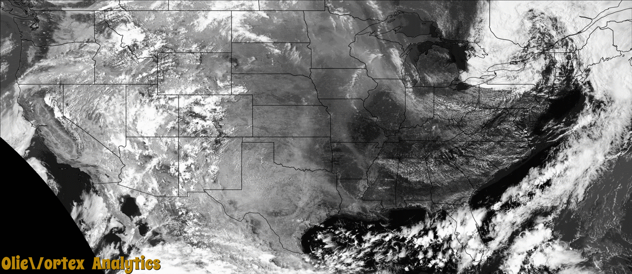
Tornado Reports
Sort by Time Sort by Rating Sort by State Sort by County| Time | Rating | Radar | State | County | Location | Narrative |
|---|---|---|---|---|---|---|
| 12:40Z | EF2 | KBOX | RI | Providence | Waterman Four Corner | A tornado caused significant damage along a discontinuous path|in Scituate, Johnston, and North Providence, Rhode Island. This |is the strongest tornado to have struck Rhode Island since the F-2|tornado in Cranston and Providence on August 7, 1986.||The tornado first touched down near Byron Randall Road in Scituate|which is where the most severe damage occurred. There were hundreds|of large trees either uprooted or snapped at their bases. One |home sustained damage to its roof, the top of its chimney was |blown off, windows were blown in, and an exterior door was |dislodged from its framing. Damage was consistent with winds of |around 115 mph which is classified as EF-2 on the Enhanced Fujita|Scale.||The tornado then tracked into Johnston where it crossed I-295 at |Exit 10 and lifted a vehicle into the air before dropping it back |onto the highway. The driver was transported to an area hospital |with minor injuries. From there, the tornado moved across Bridle |Way and Carriage Way where a number of trees were snapped or |uprooted, some of which fell onto homes or vehicles. Some homes |also lost some singles from their roofs. A metal Stop sign pole |was bent in half and the sign was blown away. The tornado then |caused damage in Highland Memorial Park Cemetery where a number of|large trees were either snapped or uprooted. The damage observed |in Johnston was consistent with winds of 90 to 100 mph which is |classified as EF-1 on the Enhanced Fujita Scale.||Finally, the tornado crossed into North Providence. Similar to|Johnston, a number of trees were either snapped or uprooted, some|falling onto homes or vehicles. Most of the damage observed was to|the north of Mineral Spring Avenue. One of the harder hit areas |included Lydia Avenue, Armand Drive, and Bennett Street where two|homes were made uninhabitable from fallen trees. The damage |observed in North Providence was consistent with winds of 90 to |100 mph which is classified as EF-1 on the Enhanced Fujita Scale.||The National Weather Service would like to thank the Rhode Island|Emergency Management Agency, the Scituate Police Department, the|Johnston Police Department, the North Providence Fire Department,|and Skywarn Amateur Radio Operators for their assistance with the|damage survey. |
| 13:07Z | EF1 | KBOX | MA | Bristol | Adamsdale | The storm that produced the Rhode Island tornado produced a second|tornado as it crossed into Massachusetts, just over the Cumberland|line in North Attleborough. ||Many trees were snapped or uprooted on Mendon Road near the|intersection of Monticello Drive. An eyewitness saw swirling|debris before taking shelter in her home. From there, damage was|more sporadic. A home on Mary Ann Way had its third floor window|blown in. Additionally, there were a number of downed or snapped|trees on Lisa Drive. The tornado then lifted briefly before|touching back down in Mansfield along Gilbert Street, where it|sheared several large trees near their tops, one of which fell on|a car. An air conditioning unit, estimated to have weighed 1000|pounds, was knocked over on the roof of a one-story commercial|building. |
| 13:37Z | EF0 | KBOX | MA | Norfolk | Stoughton | A tornado briefly touched down in Stoughton on Eighth Street and|Corbett Street. Sporadic damage along a short path included fallen|trees, one of which fell onto a shed. Part of a fence was blown|in. |
| 13:52Z | EF1 | KBOX | MA | Norfolk | South Weymouth Nas | A tornado touched down in Weymouth near the intersection of|Pleasant and Torrey Streets. Numerous trees were uprooted and |snapped. A home at the intersection of Burton Terrace and Torrey|Street had about twenty singles torn from its roof. On Park|Avenue, a three-inch diameter branch from a treetrop was blown |about 120 yards and driven into the ground to a depth of 2 feet.|An eyewitness who received a Wireless Emergency Alert could see|swirling debris out a window as she took shelter in her cellar. |The tornado lifted near a water tower at the end of Lockewoods |Drive. |
Storm reports are derived from "The Storm Events Database" (National Centers for Environmental Information) and/or "Past Storm Reports" (Storm Prediction Center).