Tornado Reports
Sort by Time Sort by Rating Sort by State Sort by County| Time | Rating | Radar | State | County | Location | Narrative |
|---|---|---|---|---|---|---|
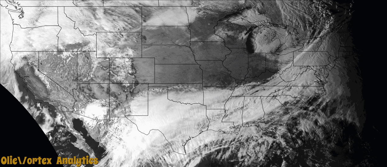
| 12:22Z | EF2 | KPBZ | OH | Monroe | Miltonsburg | A NWS Storm Survey confirmed an EF-2 tornado tracked roughly 4 miles from Miltonsburg to Ozark in Monroe County. The tornado was embedded within a wider swath of straight-line wind damage. Maximum wind gusts were near 120mph. There was widespread tree damage and many outbuildings were affected. The most significant damage was located off Minder Road where a house sustained major damage, which consisted of it being shifted off its foundation, windows blown out, and a complete collapse of the attached garage. There was one indirect injury during cleanup efforts. |
| 22:19Z | EF0 | KBGM | NY | Broome | Castle Creek | A line of showers and thunderstorms along a powerful cold |front, produced widespread winds of 40-55 mph across the area. |However, embedded within the line, a NWS storm survey confirmed that |a shortly-lived tornado spun up on Brooks Road, just west of its intersection with |Route 11 Castle Creek Road. The tornado then crossed Route 11 |with a path of enhanced damage especially focused on two |properties between Route 11 and Interstate 81. Numerous large |trees, a mix of softwoods and hardwoods, were uprooted or |snapped. A large chimney came down on the roof of a residence, |damaging it. A gazebo on the property was lofted and destroyed.|A barn of the same residence had an entire wall and portions of |the roof sheared off of the structure. Pieces of the |barn could be found in the form of missiles, deeply impaling the |ground. Numerous tree branches and other wood pieces throughout |the path similarly impaled the ground. As the tornado continued, |it moved two hay wagons at least 100 feet, totally dismantling |one of them and heavily bending the other. A corridor of tree |damage could be found in the woods across the field, before it |ended at the Castle Creek stream itself just before reaching |Interstate 81. |
Storm reports are derived from "The Storm Events Database" (National Centers for Environmental Information) and/or "Past Storm Reports" (Storm Prediction Center).