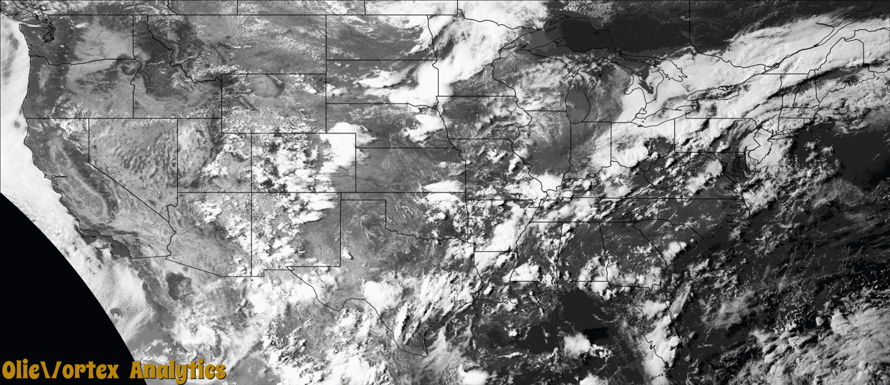
Tornado Reports
Sort by Time Sort by Rating Sort by State Sort by County| Time | Rating | Radar | State | County | Location | Narrative |
|---|---|---|---|---|---|---|
| 19:54Z | EF0 | KCLE | OH | Medina | Thompsons | An EF0 tornado with estimated peak winds of 81-mph impacted portions of Chatham and Lafayette Townships, and moved generally east-southeastward during its lifespan. The tornado began just north of Spencer Lake Road, about halfway between Ballou and Erhart Roads. Damage related to the tornado was primarily in the form of snapped tree branches or entire trees snapped. However, the tornado damaged an unoccupied small barn west of the intersection of Spencer Lake and Erhart Roads. Farther to the east-southeast and after crossing Carsten Road, the tornado caused minor damage to the roof of a house before the tornado dissipated soon thereafter. |
| 20:40Z | EF0 | KMBX | ND | Towner | Newville | A large dusty tornado was reported near Calio ND with no damage conveyed from any sources who witnessed it. This tornado started in Towner County and traveled 0.50 miles to the Cavalier county line, where it traveled an additional 1.04 miles. It is suspected that this was spawned out of land spout processes which likely contributed to its dusty tubelike appearance as seen on social media. UPDATE 7/22/25: Adjusted track based on Sentinel-2 satellite imagery. |
| 20:43Z | EF0 | KMBX | ND | Cavalier | Calio | A large dusty tornado was reported near Calio ND with no damage conveyed from any sources who witnessed it. This tornado started in Towner County and traveled 0.50 miles to the Cavalier county line, where it traveled an additional 1.04 miles. It is suspected that this was spawned out of land spout processes which likely contributed to its dusty tubelike appearance as seen on social media. UPDATE 7/22/25: Adjusted track based on Sentinel-2 satellite imagery. |
| 21:27Z | EF0 | KMVX | ND | Ramsey | Edmore | Law enforcement reported a tornadic circulation in this location around 4:27pm with no damage reported. |
| 22:08Z | EF0 | KMVX | ND | Walsh | Fairdale | Spotter reported a brief tornado 5mi NE of Lawton, ND with no damage reported. |
| 22:27Z | EF2 | KBGM | NY | Ontario | Phelps | The National Weather Service surveyed damage in the Town of |Phelps in Ontario County from July 7 today. Damage began west of|Melvin Hill Road with a few broken hardwood branches but quickly|intensified to the east-southeast as multiple softwood trees|were snapped and uprooted around two homes and a barn. While|none of those structures received notable damage, multiple trees |nearby saw their trunks snapped. Damage continued east-southeast|to the north of County Road 23 with dozens of hardwood trees |snapped on the north side of a large farm area. As the damage|continued to the east-southeast, three residences received damage|around the roundabout at the intersection of County Road 23 and|Fort Hill Road. The worse damage was located just northwest of|the roundabout, where an entire roof and portions of the wall of|a home were destroyed. Nearby, another roof was fully destroyed,|as well. A barn just south of the roundabout was shifted off its|foundation, and a silo saw its roof about half removed. ||From the damage surveyed today, as well as multiple pictures, |videos, and drone footage shared from multiple sources, the|National Weather Service storm survey team determined the|damage to be consistent with a tornado rated an EF-2 on the|Enhanced Fujita Scale. Maximum winds were estimated at 115 mph. |
| 22:31Z | EF0 | KMVX | ND | Walsh | Lankin | Spotter reported a weak ground circulation lasting for 1-2 minutes with no damage reported. |
| 00:56Z | EF1 | KMVX | ND | Grand Forks | Reynolds | A tornado tracked SE with EF1 damage to a farmstead east of Reynolds, which included a grain bin ripped from anchoring and blown quarter mile into field. Multiple large trees were split or snapped. |
| 01:29Z | EF0 | KMVX | MN | Polk | Nielsville | Nielsville FD reported multiple brief touchdowns near the pilling station lasting no more than 30 seconds and doing no reported damage other that stripping some leaves off crops. Spotters also reported a funnel with intermittent touchdowns near the Nielsville pilling station. |
| 01:53Z | EF0 | KMVX | MN | Polk | Beltrami | This tornado tracked NW to SE with a final S push as it occluded. It tracked for about 5.3 miles, with roughly 0.68 miles in Polk County and the remaining track in Norman County. EF0 damage was noted in Polk County, with EF1 damage in Norman County. |
| 02:05Z | EF1 | KMVX | MN | Norman | Lockhart | A tornado tracked NW to SE with a final S push as it occluded. It tracked for about 5.3 miles, starting in Polk County, then continuing into Norman County. After crossing into Norman County, this tornado scoured a soybean/corn field before doing damage to some farm outbuildings. This track may be adjusted pending high resolution satellite imagery. UPDATE 7/22: Track adjusted based on Sentinel-2 imagery. EF0 damage was noted in Polk County, with EF1 damage in Norman County. |
Storm reports are derived from "The Storm Events Database" (National Centers for Environmental Information) and/or "Past Storm Reports" (Storm Prediction Center).